What is recorded here
A circular earthen fort stood on a northwest-facing slope in Kinneigh parish, visible on old maps but destroyed during routine fence clearance in 1970. It may have housed humans, hidden spirits, or both, yet no longer exists to prove which.
In pasture, on NW-facing slope. Depicted on OS 6-inch maps as circular enclosure, levelled in 1970 during field fence clearance.
The above description is derived from the published 'Archaeological Inventory of County Cork. Volume 1: West Cork' (Dublin: Stationery Office, 1992). In certain instances the entries have been revised and updated in the light of recent research.
Date of upload/revision: 14 January 2009
The monument record does not grant public access. Check the route and ask the landowner before entering private land.
- What survives
- Recorded monument
Places near here
 Fulacht fia in Paddock (carbery East (w.d) By., Kinneigh Par.)Fulacht fia · 187 yd
 Man-made underground passage in Paddock (carbery East (w.d) By., Kinneigh Par.)Man-made underground passage · 277 yd
 monumentmonument · 867 yd
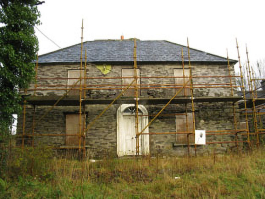 Tower Viewhouse · 1.1 mi
 Castle RockNamed rock · 1.8 mi
 Green HillMountain / peak · 3.2 mi
 OCrowleys Castle (in Ruins)Castle, tower house · 3.2 mi
 Irish National Forestry FoundationNature reserve · 3.7 mi
 Kilmichael Ambush SiteMonument · 4.1 mi
 Kilmichael Ambushambush · 4.1 mi
 The GlenWood · 4.7 mi
 Kilmurry WoodsPicnic place · 5.6 mi