What is recorded here
You need a light touch and a quick hand because the fort is half-swallowed by pasture and memory. What remains is a low oval bank, a deep-cut ditch and a broken outer ridge that still draws the eye across the field. The southeast gap may have been the entrance, but there is no door, no marker and no warning left to tell you where the old road began.
In pasture close to the base of a gentle NNW-facing slope immediately above a stream. A raised oval area (71.8m NNW-SSE; 65.8m ENE-WSW) enclosed by a low bank of earth and stone (Wth 5.5m; H 0.45m max.), a wide, deep, intervening fosse (Wth 6.1m; D 1.4m) and the remains of an outer bank (Wth 4.4m; H 0.4m). The outer bank has been levelled from NE-S-WSW but its outline is still identifiable. A break (Wth 3.2m) in the bank at SE with traces of an accompanying causeway may mark the original entrance.
Compiled by: Patrick F. O'Donovan
Date of upload: 17 January 2012
The monument record does not grant public access. Check the route and ask the landowner before entering private land.
- What survives
- Recorded monument
Places near here
 LF014-104---- : Ringfort - rath : OLDTOWNArchaeological place · 4 yd
 FortsFairy fort / earthen ringfort · 169 yd
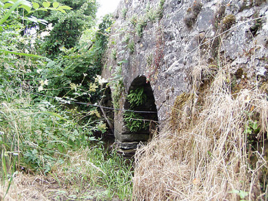 bridgebridge · 312 yd
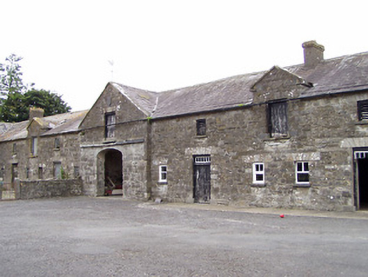 Oldtown Houseoutbuilding · 757 yd
 Oldtown DemesneForest · 855 yd
 Oldtown CopseWood · 878 yd
 Bawn in LissardowlanBawn · 1.4 mi
 CastleCastle, Anglo-Norman masonry castle · 1.5 mi
 National Famine WayWalking route · 3.5 mi
 Saint Mel's CathedralCathedral · 4.3 mi
 First World War MemorialMemorial · 4.3 mi
 Graveyard in Curry (ardagh By., Coolamber Ed)Graveyard · 4.8 mi