What is recorded here
On a gentle SE-facing slope off crest of hill, in undulating terrain. The NW portion, which has been levelled and is no longer visible above ground, is under tillage. The SE portion is in pasture. A ringfort (TS082-070----) is situated c. 250m to the NW. Just over half the monument survives above ground, it is heavily overgrown with nettles with dead wood beneath while the banks are virtually inaccessible due to scrub, brambles and nettles. It is depicted as being a roughly circular enclosure (diam. c. 36m; N-S; c. 38m E-W) on the 1904-05 ed. OS 6-inch map. The bank is largely reduced to scarp (Wth 1.2m; int. H 0.26m; ext. H 1.07m) with a steep drop to exterior. There appear to be at least two breaks in bank in the SE quadrant. Field boundaries N and NW of the ringfort have been removed.
Compiled by: Jean Farrelly
Date of upload: 12 February 2014
The monument record does not grant public access. Check the route and ask the landowner before entering private land.
- What survives
- Recorded monument
Places near here
 Enclosure in Ballynamuddagh,neddans (nagle)Enclosure · 741 yd
 Enclosure in BrickEnclosure · 1116 yd
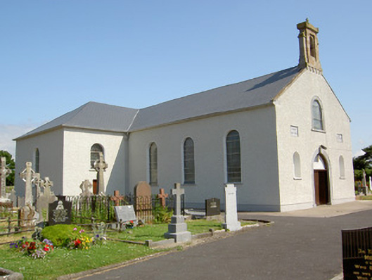 Saint Nicholas's Catholic Churchchurch/chapel · 1.2 mi
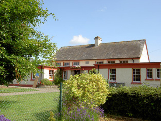 Grange National Schoolschool · 1.3 mi
 Ballindoney Castle (in ruins)Castle, tower house · 1.4 mi
 Castle, Kilmanahan CastleCastle, tower house · 1.7 mi
 Hybrid Black PoplarHybrid Black Poplar · 1.8 mi
 Deodar CedarDeodar Cedar · 2.0 mi
 European long distance path E8 - part IrelandWalking route · 2.0 mi
 Woodcock HillMountain / peak · 2.7 mi
 Cahir CastleHeritage attraction · 5.5 miSiege of Cahir Castlesiege · 5.7 mi