What is recorded here
Fairy fort / earthen ringfort in Oghambaun is a fairy fort or earthen ringfort in Oghambaun, County Sligo, Ireland. The north-westernmost of two conjoined ringforts sits on a rise in rough grazing. A raised oval area measures 30m NW-SE and 25.5m NE-SW, enclosed by an earthen bank 3.2m wide and 0.4m high internally from SW to N, and by a substantial hedgerow E-SE dividing it from the adjoining cashel. Hawthorn trees partially overgrow the rath.
On a rise, in rough grazing. The north-westernmost of two conjoined ringforts (see SL038-039002-). A raised oval area (30m NW-SE; 25.5m NE-SW) enclosed by an earthen bank (Wth 3.2m; int. H 0.4m) SW-N and by a substantial hedgerow E-SE which divides it from the adjoining cashel (SL038-039002-). The rath is partially overgrown with hawthorn trees.
The above description is derived from the published 'Archaeological Inventory of County Sligo' compiled by Ursula Egan, Elizabeth Byrne, Mary Sleeman with Sheila Ronan and Connie Murphy (Dublin Stationery Office, 2005).
Date of upload: 18 January 2008
The monument record does not grant public access. Check the route and ask the landowner before entering private land.
- What survives
- Recorded monument
Places near here
 Enclosure in OghambaunEnclosure · 273 yd
 Indicated (1838).Fairy fort / earthen ringfort · 339 yd
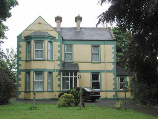 The Mounthouse · 1365 yd
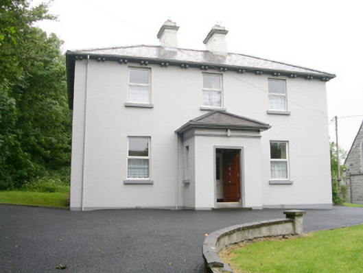 Catholic Church of Saint John the Evangelistpresbytery/parochial/curate's house · 1438 yd
 CastleCastle, unclassified · 1723 yd
 Muckelty HillMountain / peak · 2.0 mi
 Ballyara Castle (in Ruins)Castle, unclassified · 2.2 mi
 Tymon's HillMountain / peak · 4.0 mi
 Old Cave Burial GroundArchaeological place · 4.5 mi
 Tawnyart WoodWood · 5.5 mi
 ElderElder · 6.4 mi
 Lough Talt TrailVisitor information · 8.8 mi