What is recorded here
Fairy fort / earthen ringfort in Oghambaun is a fairy fort or earthen ringfort in Oghambaun, County Sligo, Ireland. It occupies a SE-facing pasture slope where a D-shaped earthen bank and inner scarp mark three sides of a 21m by 27m area. A straight field boundary replaces the missing eastern bank, while the interior is cut into the upslope at the north and slightly raised at the south. A cashel lies about 20m to the north.
In pasture, on the SE-facing slope of a rise. A D-shaped area (dims. 21m E-W), with a straight E side (L 27m), defined by the remains of an earthen bank (Wth 4.4-7.4m; H 0.6m) SE-W and by an inner-facing scarp (H 0.25m) W-N. The straight side is defined by a N-S field boundary. No remains of the rath are visible at ground level on the E side of the field boundary. The N portion of the interior is cut into the upslope and the S portion is raised c. 0.15m to compensate for the hillslope. A cashel (SL038-038001-) lies c. 20m to N.
The above description is derived from the published 'Archaeological Inventory of County Sligo' compiled by Ursula Egan, Elizabeth Byrne, Mary Sleeman with Sheila Ronan and Connie Murphy (Dublin Stationery Office, 2005).
Date of upload: 18 January 2008
The monument record does not grant public access. Check the route and ask the landowner before entering private land.
- What survives
- Recorded monument
Places near here
 Enclosure in OghambaunEnclosure · 54 yd
 Indicated (1838).Fairy fort / earthen ringfort · 245 yd
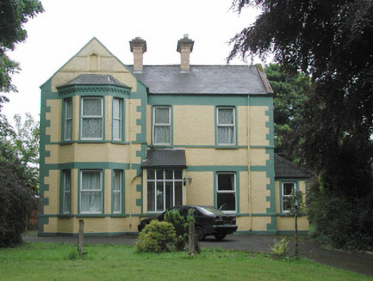 The Mounthouse · 1125 yd
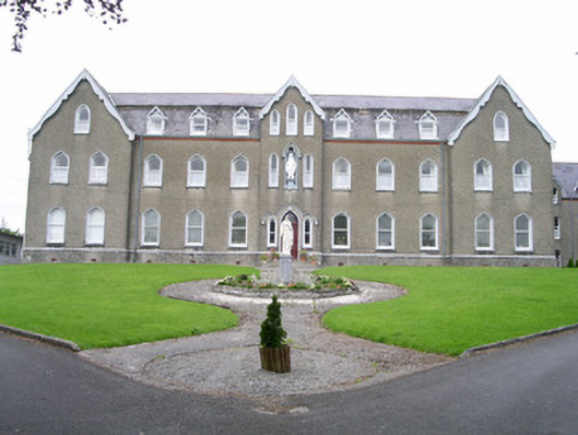 Saint Joseph's Conventconvent/nunnery · 1211 yd
 CastleCastle, unclassified · 1.1 mi
 Muckelty HillMountain / peak · 2.0 mi
 Ballyara Castle (in Ruins)Castle, unclassified · 2.1 mi
 Tymon's HillMountain / peak · 4.2 mi
 Old Cave Burial GroundArchaeological place · 4.6 mi
 Tawnyart WoodWood · 5.4 mi
 European ashEuropean ash · 6.5 mi
 Lough Talt TrailVisitor information · 8.6 mi