What is recorded here
Mortons and Nicholastown both carry the same hidden warning: a tall red column rising from the grass, not a building but a mark set by humans in a world where the unseen still move. The fort is not a fortress against men, nor a palace for kings. It is a boundary marker, a place where the ordinary town ends and the old living landscape begins. To walk past it is to enter a world where visibility has stopped being the test of truth.
The Archaeological Survey of Ireland (ASI) is in the process of providing information on all monuments on The Historic Environment Viewer (HEV). Currently the information for this record has not been uploaded. To access available information for research purposes please make an appointment in advance with the Archive Unit (open Fridays 10.00 am – 5.00 pm), Department of Housing, Local Government and Heritage, The Custom House, Dublin 1 D01W6XO or email NMarchive@housing.gov.ie.
The monument record does not grant public access. Check the route and ask the landowner before entering private land.
- What survives
- Recorded monument
Places near here
 Carriganurra Ringfort (rath)Archaeological place · 1027 yd
 Church in GroganChurch · 1483 yd
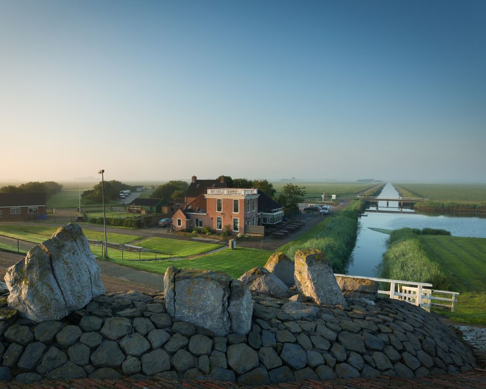 Grogan Ringfort (rath)Archaeological place · 1.1 mi
 Gaul Burke's CastleArchaeological place · 1.6 mi
 Graul Burkes Castle (Site of)Castle, unclassified · 1.6 mi
 Church in KillaspyChurch · 1.7 mi
 Native Woodland Trust:Grace Dieu ReserveWood · 5.0 mi
 Native Irish Tree TrailWood · 5.9 mi
 Mount Congreve GardensHeritage attraction · 7.6 mi
 Sugar Loaf RockMountain / peak · 8.0 mi
 Waterford & Suir Valley RailwayHeritage attraction · 8.5 mi
 Thomas PhelanMemorial · 11 mi