What is recorded here
Fairy fort in Nicholastown, County Louth: two hidden rings, twenty and thirty-five metres wide, cut into a gentle rise. Fields and forges may have crossed them, but the ditch marks still turn the land into a room. People may have lived, hidden or worshipped there before the farm road came. The earth remembers shape even when it forgettes name.
Situated on a rise in a gently undulating landscape. The cropmark of a circular enclosure (diam. c. 20m) defined by a fosse feature is visible on Google Earth (29/06/2018). It is within an outer enclosure (diam. c. 35m) defined by the cropmark of another fosse feature SE-W-NW but it is cut by an ENE-WSW field bank at N and is indistinct on the E side.
Compiled by: Michael Moore
Date of upload: 11 November 2019
A fairy fort or earthen ringfort in Nicholastown is a likely early-medieval defensive or agricultural site, indicated by its circular enclosures and fosse. Local tradition associates such sites with fairy folklore, reflecting their enigmatic and sacred status in Irish cultural memory.
The monument record does not grant public access. Check the route and ask the landowner before entering private land.
- What survives
- Recorded monument
Places near here
 Enclosure in Thomastown (ardee By., Philipstown Par.)Enclosure · 991 yd
 Enclosure in Nicholastown (ardee By.),reaghstownEnclosure · 1085 yd
 TuliptreeTuliptree · 1753 yd
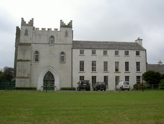 Knock Abbeycountry house · 1.0 mi
 Thomastown CastleCastle, tower house · 1.0 mi
 European YewEuropean Yew · 1.0 mi
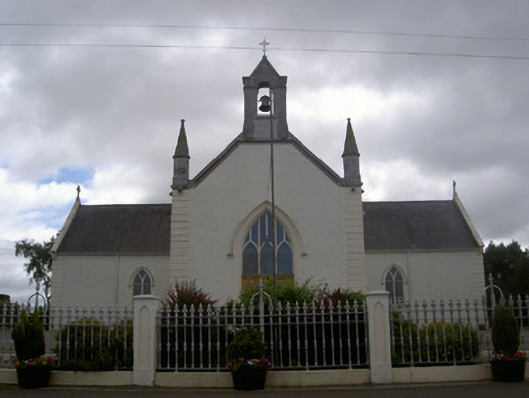 Saint Malachy's Catholic Churchchurch/chapel · 1.3 mi
 RathneestinCastle, tower house · 2.0 mi
 Flat cemetery in AnnaheanFlat cemetery · 2.0 mi
:no_upscale()/cdn.vox-cdn.com/uploads/chorus_asset/file/25593391/County_Louth_6th.jpg) LouthMountain / peak · 3.3 mi
LouthMountain / peak · 3.3 mi Matthew's HillMountain / peak · 4.1 mi
 Sir Frederick Foster MemorialMemorial · 5.6 mi