What is recorded here
Fairy fort in Nicholastown, County Louth, is an earthen ringfort: a subcircular enclosure about forty metres long and thirty-five wide, marked by a single fosse on a gentle south-facing slope. People have called it a fairy fort, as if the boundary belonged to something smaller, quicker and less honest than human law. Yet a ringfort is a human shape: made for defence, residence or exclusion, its curve drawn tight against the land. The fairy name does not erase that purpose; it records the moment human certainty thinned.
Situated on a gentle S-facing slope in a gently undulating landscape. The cropmark of a subcircular enclosure (dims c. 40m NW-SE; c. 35m NE-SW) defined by a single fosse feature is visible on Google Earth (29/06/2018). It is also visible on OSAP (1995) and was first reported by Anthony Murphy.
See the attached enhanced view from Google Earth
Compiled by: Michael Moore
Date of upload: 11 November 2019
The monument record does not grant public access. Check the route and ask the landowner before entering private land.
- What survives
- Recorded monument
Places near here
 Enclosure in Thomastown (ardee By., Philipstown Par.)Enclosure · 1095 yd
 TuliptreeTuliptree · 1208 yd
 Thomastown CastleCastle, tower house · 1211 yd
 European YewEuropean Yew · 1262 yd
 Knock Abbey (Site of)Ecclesiastical site · 1397 yd
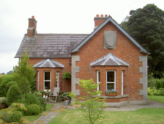 Knock Abbeygate lodge · 1546 yd
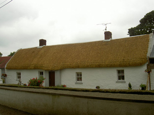 farm housefarm house · 1713 yd
 RathneestinCastle, tower house · 1.6 mi
 Flat cemetery in AnnaheanFlat cemetery · 2.4 mi
:no_upscale()/cdn.vox-cdn.com/uploads/chorus_asset/file/25593391/County_Louth_6th.jpg) LouthMountain / peak · 2.9 mi
LouthMountain / peak · 2.9 mi Matthew's HillMountain / peak · 4.5 mi
 Photo GalleryHeritage attraction · 8.9 mi