What is recorded here
That is the largest ringfort in the study area. It stands on a ridge above Rinrush, its earthen bank still clear after centuries of rain and grass. The wide gap at the north-east faces the living land, not the burial ground behind it. A house, a barn or a place of protection may have stood there before memory faded. The shape still answers the hand that made it.
On a ridge in grassland. Well-preserved subcircular rath (34.4m E-W; 31.5m N-S) defined by a bank. There is a wide gap (Wth 9m) at NNE. Another rath lies c. 75m to the NE and there is a children's burial ground (GA123-092----) c. 120m to the W.
Compiled by: Galway Archaeological Survey, UCG
Date of upload: 27 February 2018
The monument record does not grant public access. Check the route and ask the landowner before entering private land.
- What survives
- Recorded monument
Places near here
 EnclosureEnclosure, large enclosure · 277 yd
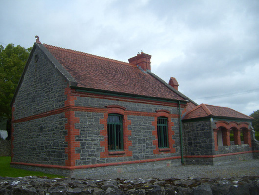 Kiltartan Gregory Museumschool · 1250 yd
 Enclosure in NewhallEnclosure · 1298 yd
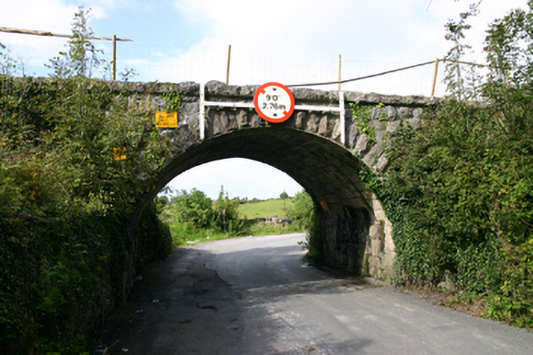 bridgebridge · 1450 yd
 European ashEuropean ash · 1495 yd
 HawthornHawthorn · 1547 yd
 Kiltartan Castle (in ruins)Castle, Anglo-Norman masonry castle · 1610 yd
 Ballylee CastleCastle, tower house · 1.0 mi
 Drumharsna CastleHeritage attraction · 3.3 mi
 Castle IslandIsland · 4.5 mi
 Holly IslandIslet · 4.6 mi
 Kilmacduagh Monastic SiteVisitor information · 5.2 mi