What is recorded here
Fairy fort is a circular earthen rath, about thirty-four metres across, at the south end of a grassy ridge in County Galway. Its bank and outer ditch remain clear, with a four-metre gap at the east-northeast that may be the original entrance. Two other ancient earthworks sit within eighty metres, suggesting a small clustered settlement rather than a lonely marker. The name fairy fort is local story, not fact, but it fits the place: ordinary grass, hidden depth, and a boundary drawn before writing.
At S end of a ridge in grassland. Circular rath (diam. c. 34.5m), in fair condition, defined by a bank and external fosse. A gap (Wth 4.2m) at ENE may be original. A Man-made underground passage (GA123-078001-) is associated. Another rath lies c. 75m to the SW and there is a large enclosure (GA123-077----) c. 77m to the NE.
Compiled by: Galway Archaeological Survey, UCG
Date of upload: 27 February 2018
The monument record does not grant public access. Check the route and ask the landowner before entering private land.
- What survives
- Recorded monument
Places near here
 EnclosureEnclosure, large enclosure · 166 yd
 Enclosure in NewhallEnclosure · 1183 yd
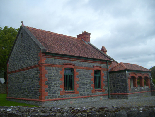 Kiltartan Gregory Museumschool · 1369 yd
 European ashEuropean ash · 1454 yd
 HawthornHawthorn · 1507 yd
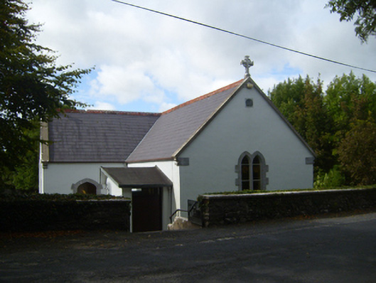 Saint Attracta's Catholic Churchchurch/chapel · 1604 yd
 Ballylee CastleCastle, tower house · 1657 yd
 Kiltartan Castle (in ruins)Castle, Anglo-Norman masonry castle · 1709 yd
 Drumharsna CastleHeritage attraction · 3.3 mi
 Castle IslandIsland · 4.6 mi
 Holly IslandIslet · 4.6 mi
 Kilmacduagh Monastic SiteVisitor information · 5.3 mi