What is recorded here
Half a million years of rain and hoofprints have not erased the twin rings at Newtown. They still hold their shape in the ridge pasture, the outer bank swallowed by field boundaries and the inner bank standing taller where the soil remembers the build. People may have lived inside, farmed around, or simply walked past the seam where human making becomes landscape. The fort does not need a date to be certain; it is certain in the way a body is certain before memory returns.
In pasture, atop ridge. Sub-circular area (35m N-S; 38m E-W) enclosed by two concentric earthen banks, with intervening fosse (Wth 2.2m). Outer bank (int. H 0.85m; ext. H 0.95m) incorporated into field boundary system E->WSW, where it is heavily masked by overgrowth, so that site occupies SE corner of field. Inner bank (int. H 0.9m; ext. H 1.1m), best preserved WSW->N, lowers NNW->ENE (int. H 0.5m; ext. H 0.45m). Interior, under pasture, has fenced-off area containing haystack just inside bank at E.
Compiled by: Denis Power
Date of upload: 26 August 2011
See attached ASI aerial photographs ASIAP – taken on 04/03/2006.
The monument record does not grant public access. Check the route and ask the landowner before entering private land.
- What survives
- Recorded monument
Places near here
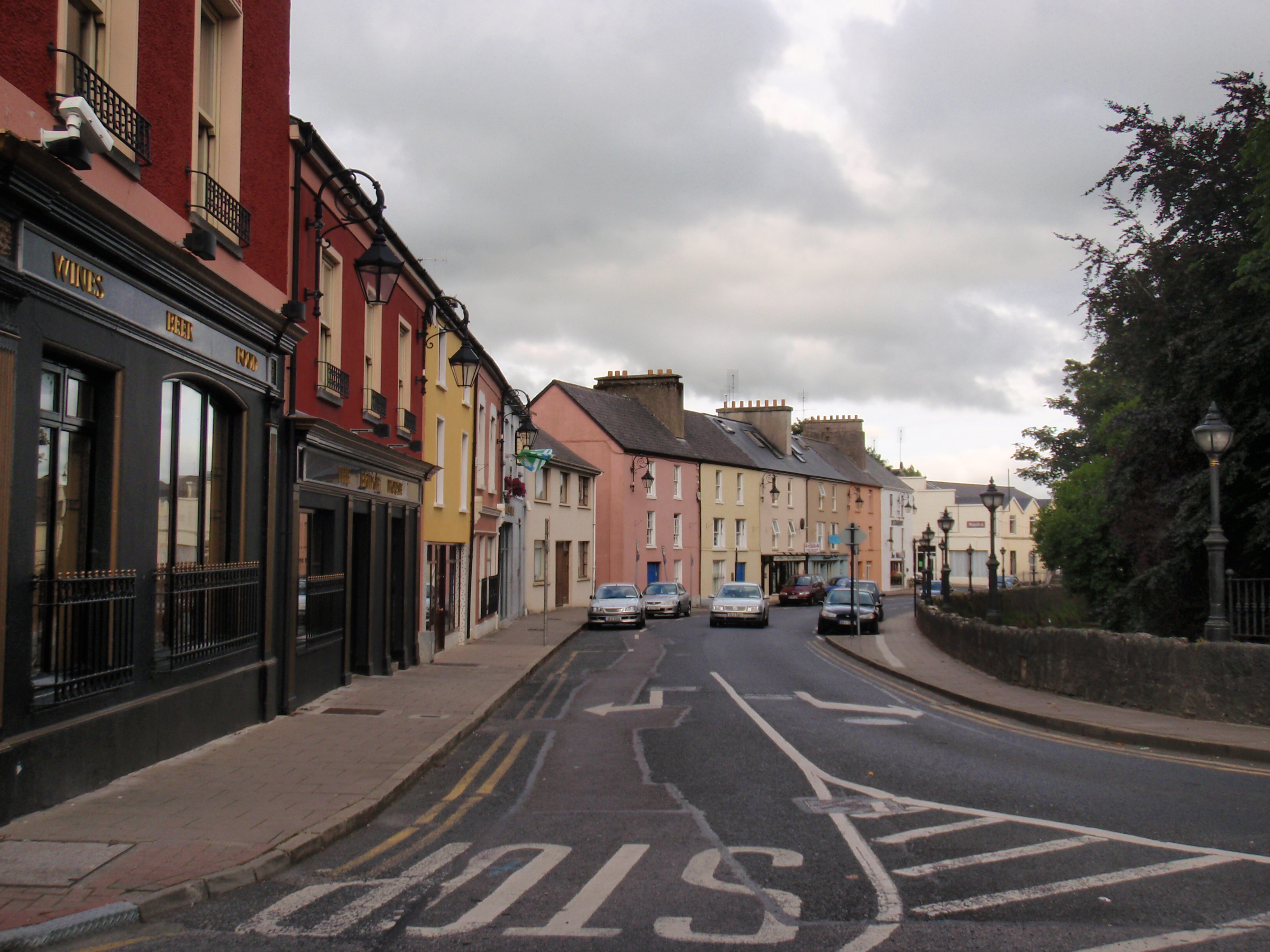 IndicatedFairy fort / earthen ringfort · 221 yd
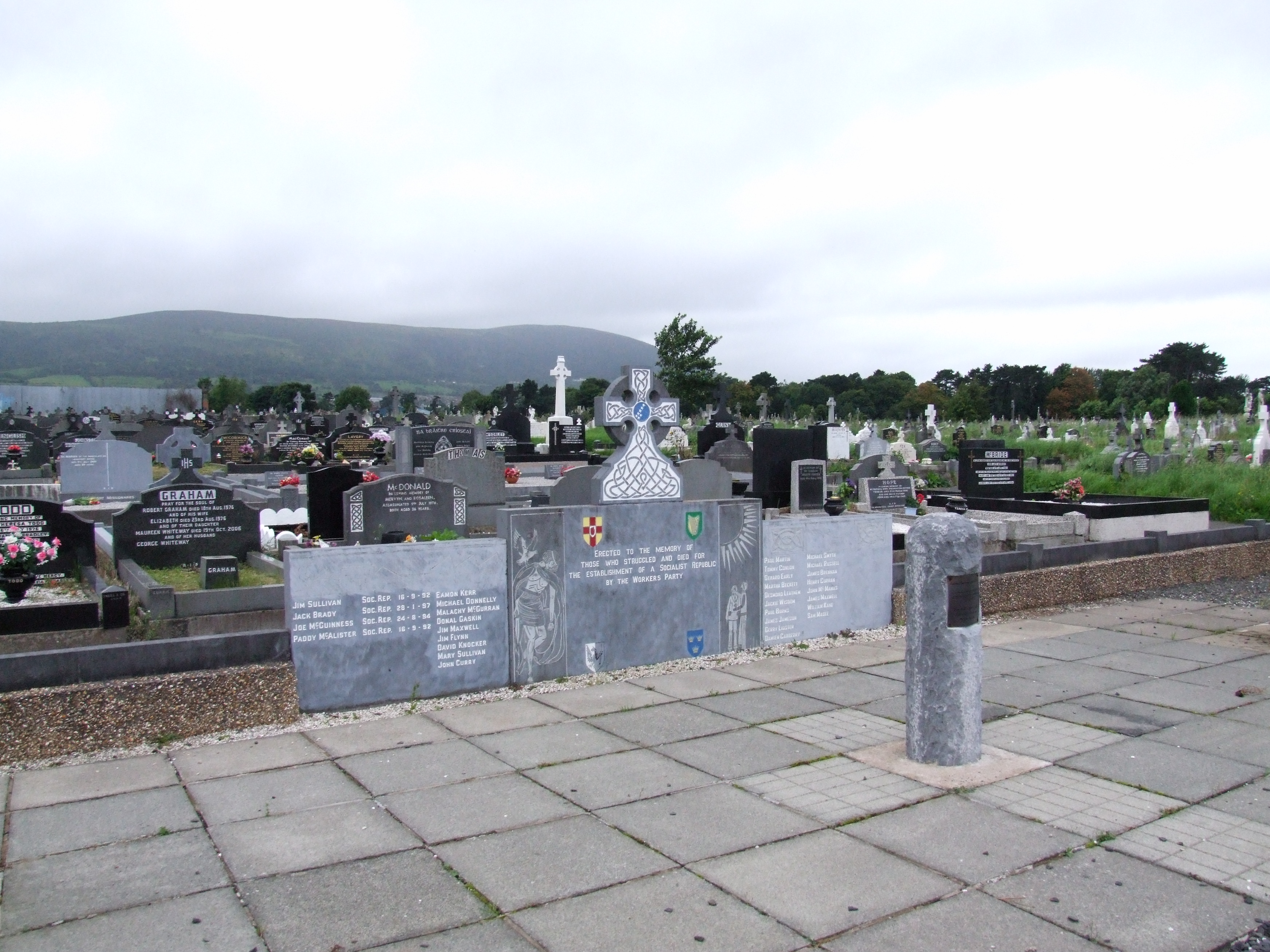 (Site of) Grave YardBurial ground · 722 yd
 schoolschool · 1255 yd
 Bawn in Castletown (kenry By.)Bawn · 1585 yd
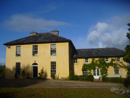 The Rectoryrectory/glebe/vicarage/curate's house · 1.0 mi
 CastleCastle, tower house · 1.4 mi
 Ringmoylan PierVisitor information · 2.7 mi
 Stonehall Visitor FarmHeritage attraction · 2.7 mi
 European YewEuropean Yew · 2.8 mi
 Curraghchase Forest ParkForest · 3.0 mi
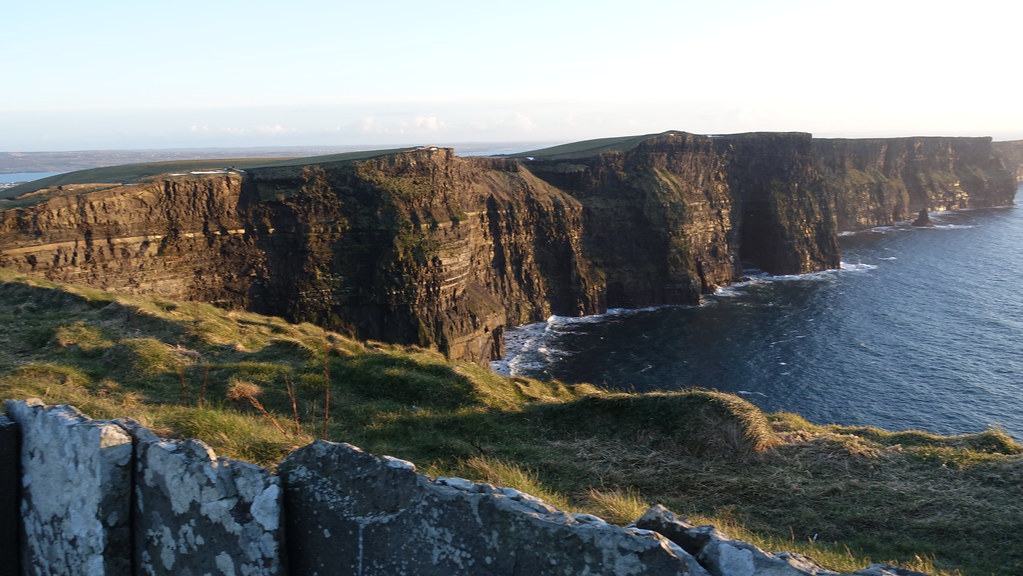 Conor's RockNamed rock · 3.3 mi
 Courtbrown PointHeadland · 3.7 mi