What is recorded here
Fairy fort is a circular earthen ringfort in County Limerick, with a bank about half a metre high inside and nearly a metre outside. It sits on a south-facing slope below a low hill, now hidden under pasture and marked by cattle-worn edges and dumped field stones. People may have lived there, fenced stock, or simply avoided the place because local story called it fairy-owned.
In pasture, on S-facing slope below brow of low hill. Circular area (22.3m N-S; 22.2m E-W) enclosed by earthen bank (int. H 0.5m; ext. H 0.95m). Bank, best preserved SE->NW, lowers at NE where it has been denuded by cattle. Interior, under pasture, slopes down to SW. Field boundary clearance debris has been dumped against outer face of bank SW->NW.
Compiled by: Denis Power
Date of upload: 26 August 2011
See attached ASI aerial photographs ASIAP – taken on 04/03/2006.
The monument record does not grant public access. Check the route and ask the landowner before entering private land.
- What survives
- Recorded monument
Places near here
 IndicatedFairy fort / earthen ringfort · 1166 yd
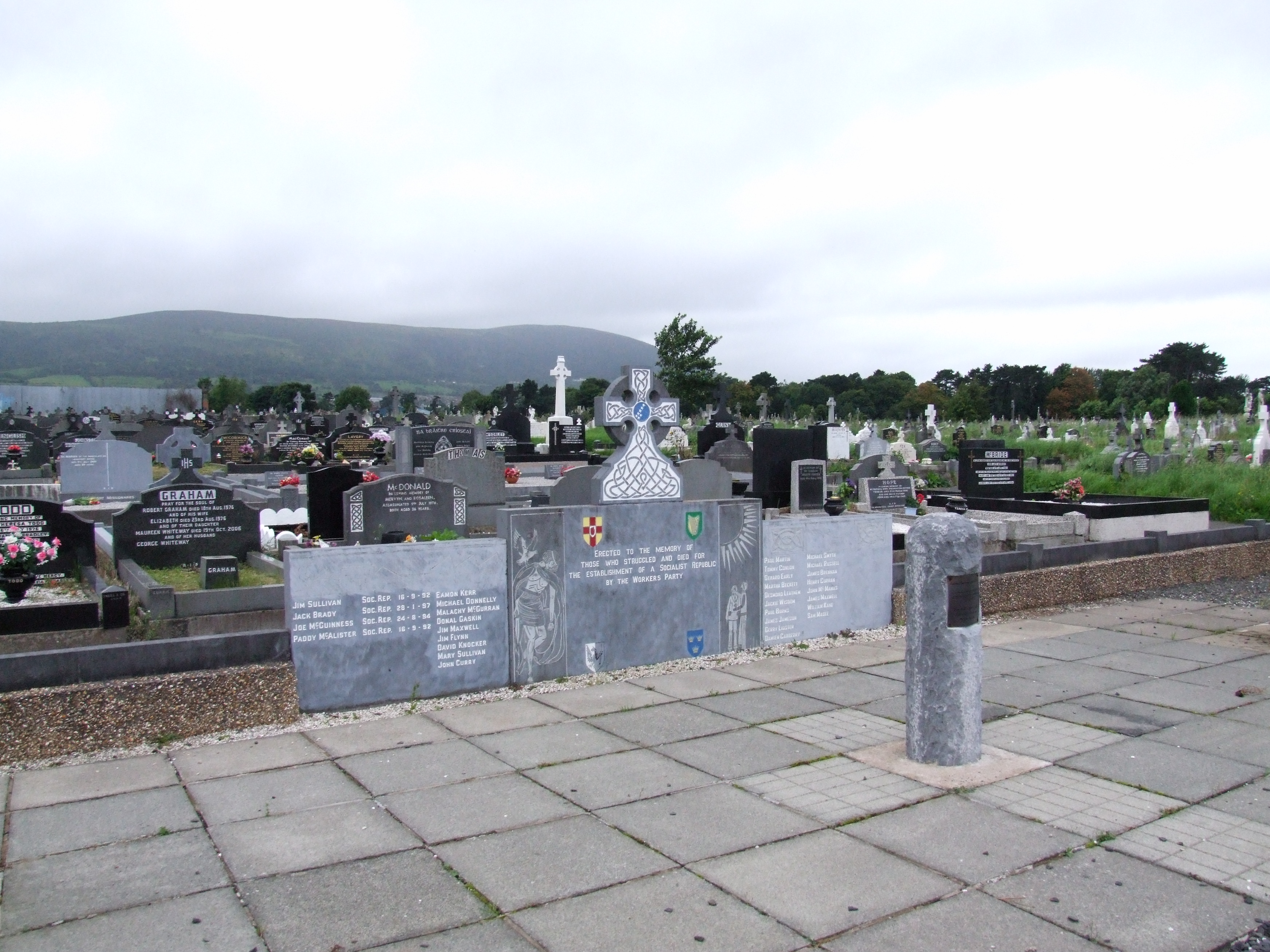 (Site of) Grave YardBurial ground · 1352 yd
 Mill (in ruins)Mill, unclassified · 1.3 mi
 schoolschool · 1.4 mi
 Bawn in Castletown (kenry By.)Bawn · 1.6 mi
 CastleCastle, tower house · 2.0 mi
 Stonehall Visitor FarmHeritage attraction · 2.8 mi
 European YewEuropean Yew · 2.8 mi
 Askeaton CastleHeritage attraction · 2.9 mi
 Courtbrown PointHeadland · 3.2 mi
 Greenish IslandIslet · 3.3 mi
 Sweet ChestnutSweet Chestnut · 3.4 mi