What is recorded here
Fairy fort and human rath share one circular breath in Kilkenny grassland. The wide bank, shallow fosse and south-east entrance still draw a line around life itself. People may have lived there, farmed there or kept flame there before records began. The fairies may have taken the same shape later, wearing the human outline like a glove.
In rolling grassland, with a modern tree plantation to the NE delimiting the extent of the monument in that sector. Identified as an upstanding enclosure on an aerial photograph (GSI S481, 1973-3). A roughly circular area (int. dims. 50m E-W; 42m N-S) enclosed by a low wide bank (int. H 0.3m; ext. H 1-1.5m; Wth at crest 4m; overall Wth 8.5m) with an external fosse (Wth 3.5m; D 0.2m). There is an entrance (Wth 4.2m) at SSE with a causeway (L 3m; Wth 4.2m) over the fosse. An E-W field boundary, indicated on the 1st (1839-40) ed. OS map and the 1945-6 revision, bisects the interior. A rectangular platform (L 5m E-W; Wth 2m N-S; H 0.2m) in the N portion may represent a house site (KK019-016001-). A circular platform (diam. 3.2m; H 0.2m) occurs immediately N of the bisecting field boundary. The fosse at NE has been recut as a drain. On Digitalglobe satellite imagery (viewed 21 September 2020) a farm trackway appears to have been constructed around the outer edge of the enclosure (SE-W-NW).
Compiled by: Jean Farrelly
Date of revised upload: 21 September 2020
The monument record does not grant public access. Check the route and ask the landowner before entering private land.
- What survives
- Recorded monument
Places near here
 Newtown Ringfort (rath)Archaeological place · 5 yd
 Bonnetstown Hallcountry house · 888 yd
 Castle (in Ruins)Castle, tower house · 983 yd
 Graces CrossCross, Wayside cross · 1160 yd
 Bawn in Lacken (crannagh By.)Bawn · 1450 yd
 European ashEuropean ash · 1.7 mi
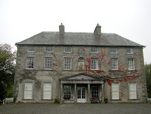 Castle Blundencountry house · 1.8 mi
 Lady DesartMemorial · 2.0 mi
 Paddy ButlerMemorial · 2.2 mi
 River LifeVisitor information · 2.5 mi
 The FordVisitor information · 2.5 mi
 Millennium WoodWood · 2.9 mi