What is recorded here
Magic is not required to explain the fort, but it is not forbidden either. The earthen bank still stands forty metres across on a gentle slope above a northward stream, its wide entrance facing southeast as if waiting for someone who forgot the way back. Cattle graze around it now, indifferent to the shape beneath their hooves. A person may have lived there, raised the south side against the hill, and vanished so completely that only the circle remains to argue with forgetting.
In pasture, on gentle SW-facing slope, on NE side of stream which flows northwards to join Awbeg River. Circular area (43.7m NNW-SSE; 40.2m WSW-ENE) enclosed by earthen bank (int. H 1.4m; ext. H 2.1m) N->WNW; truncated by field boundary WNW->N. External fosse (D 1.65m) survives NNE->ESE; inaccessible due to overgrowth and dumped branches. Entrance (Wth 8m) to SSE. Interior grass-covered; raised on S side to compensate for hillslope.
The above description is derived from the published 'Archaeological Inventory of County Cork. Volume 4: North Cork' (Dublin: Stationery Office, 2000). In certain instances the entries have been revised and updated in the light of recent research.
Date of upload/revision: 14 January 2009
The monument record does not grant public access. Check the route and ask the landowner before entering private land.
- What survives
- Recorded monument
Places near here
 Moated site in BallycoskeryMoated site · 591 yd
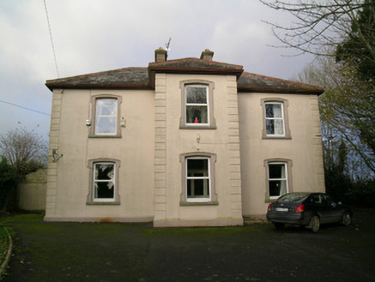 presbytery/parochial/curate's housepresbytery/parochial/curate's house · 621 yd
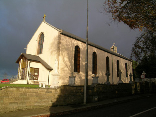 Saint Mary's Roman Catholic Churchchurch/chapel · 728 yd
 Moated site in BallynadrideenMoated site · 1361 yd
 Castle Harrison on Site of Castle (19*Castle, unclassified · 1.1 mi
 CarrigeenMountain / peak · 1.5 mi
 Ardskeagh MoatCastle, motte · 1.9 mi
 BallinaboolaVisitor information · 1.9 mi
 Holy Cross CemeteryGraveyard · 3.0 mi
 Ballyhoura WayWalking route · 3.2 mi
 Carron MountainMountain / peak · 3.5 mi
 Rogan's Rock CovertWood · 3.6 mi