What is recorded here
The land has worn shallow but the ring remains visible in grass and soil. A fort or farm yard may have stood there before people stopped naming it. The fairy label is a story, not a measurement, yet it reminds us that ordinary places can still feel charged.
On a S-facing slope in grassland. Overgrown subcircular rath (E-W 34m, N-S 32,), in fair condition, defined by a denuded bank and external fosse; the latter survives only at NW. A scarp forms the enclosing element from E to SE. The td. boundary overlies the enclosing elements from SE through S to SW, and a field bank cuts them at W and E.
The above description is derived from the published 'Archaeological Inventory of County Galway Vol. II - North Galway'. Compiled by Olive Alcock, Kathy de hÓra and Paul Gosling (Dublin: Stationery Office, 1999).
Date of upload: 05 August 2010
The monument record does not grant public access. Check the route and ask the landowner before entering private land.
- What survives
- Recorded monument
Places near here
 Enclosure in Newtown (ballymoe By.)Enclosure · 367 yd
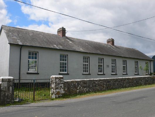 Toberroe National Schoolschool · 519 yd
 Cross in Ballynakill (ballymoe By.)Cross · 1282 yd
 Ballinakill AbbeyRuins · 1286 yd
 Site of Killomaine Grave YardArchaeological place · 1577 yd
_-_geograph.org.uk_-_1952978.jpg?width=1280) Bawn in Glinsk (ballymoe By.)Bawn · 1.2 mi
Bawn in Glinsk (ballymoe By.)Bawn · 1.2 mi Site of Ballyglass CastleCastle, unclassified · 3.3 mi
 Rook HillMountain / peak · 3.5 mi
 HawthornHawthorn · 5.2 mi
 Mount MaryMountain / peak · 5.7 mi
 European ashEuropean ash · 7.0 mi
 Sally IslandIslet · 7.3 mi