What is recorded here
East Nantenane fort stood as a circular earthen enclosure nearly forty metres wide on a gentle south-east facing slope in Nantinan. It marked human presence across centuries before local residents levelled the ridge years ago, erasing the visible boundary that once shaped the pasture. The soil still holds a faint memory of the circle even though the earth no longer shows it.
In pasture, on the break of a gentle SE-facing slope. A low rise and undulations define an area (diam. c. 38m) in the approximate location of the rath. According to local information, the rath was levelled 'years ago'. This is probably the rath which was recorded as 'East Nantenane fort' in the 1840s (OSNB, Killorglin, no. 1, 5). It is indicated as a circular enclosure (diam. c. 40m) on the 1846 OS 6-inch map. An oval enclosure (c. 40m N-S; c. 35m E-W) is indicated on the 1895 OS 6-inch map with a field boundary curving to respect it along the W arc.
Compiled by: Elizabeth Byrne, Ursula Egan and Sheila Ronan, Archaeological Survey Unit, University College, Cork.
Date of upload: 31 January 2011
The monument record does not grant public access. Check the route and ask the landowner before entering private land.
- What survives
- Recorded monument
Places near here
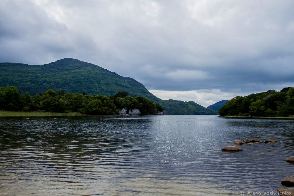 Man-made underground passage in Coolroe NorthMan-made underground passage · 916 yd
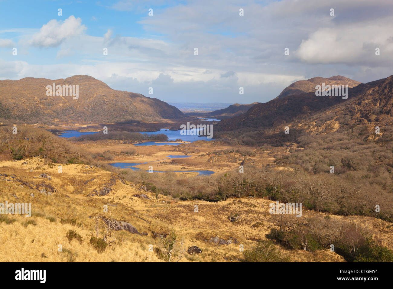 IndicatedKiln, lime · 1038 yd
 Ballymalis Br.Bridge · 1676 yd
 LissareeFairy fort / earthen ringfort · 1751 yd
 The Kerry Creamery ExperienceHeritage attraction · 1.4 mi
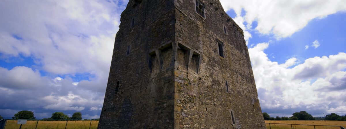
 Ballymalis Castle (in ruins)Castle, tower house · 1.9 mi
 Ballymalis CastleCastle · 1.9 mi
 Clash IslandIslet · 2.9 mi
 Cloon IslandIsland · 3.1 mi
 King Puck statueMemorial · 3.5 mi
 Dunloe Ogham StonesHeritage attraction · 4.5 mi
 Japanese pagoda treeJapanese pagoda tree · 4.6 mi