What is recorded here
Naheelis holds a large oval ringfort where a substantial earthen bank and fosse still mark the boundary of ordinary farmland. The north-west break and causeway suggest the entrance used by whoever lived inside, while the remaining earth warns that much of the structure has already been taken for fields. Fairy fort is the local name, but the shape and scale point to a human dwelling that outlived its builders and became landscape.
Raised oval area (int. dims. c. 68m N-S; 54m E-W) enclosed by fragmentary remains of a once substantial earthen bank and traces of a fosse, both of which have been incorporated into the field boundary. Break in bank at NW with accompanying causeway may represent original entrance.
The above description is derived from the published 'Archaeological Inventory of County Cavan' (Dublin: Stationery Office, 1995). In certain instances the entries have been revised and updated in the light of recent research.
Date of upload/revision: 22 December 2008
The monument record does not grant public access. Check the route and ask the landowner before entering private land.
- What survives
- Recorded monument
Places near here
 InishmuckIsland · 973 yd
 TobermogueHoly well · 1429 yd
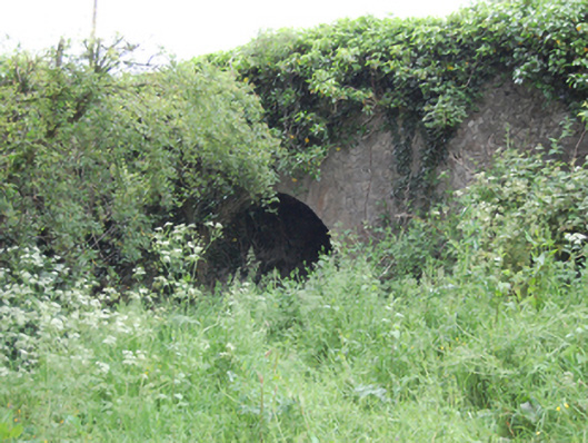 Blackstick Bridgebridge · 1590 yd
 Carratraw Bridgebridge · 1.0 mi
 Enclosure in Drummany RahanEnclosure · 1.0 mi
 DerrybrickMountain / peak · 1.0 mi
 Drumlane AbbeyHeritage attraction · 1.2 mi
 ArdanMountain / peak · 1.4 mi
 Clogh Oughter CastleCastle, Anglo-Norman masonry castle · 1.7 mi
 Duck IslandIsland · 1.8 mi
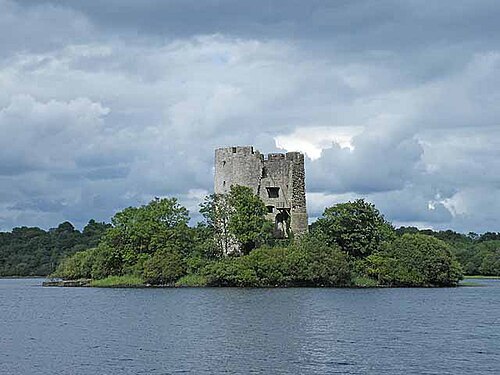 Cloughoughter CastleIsland castle ruin · 2.2 mi
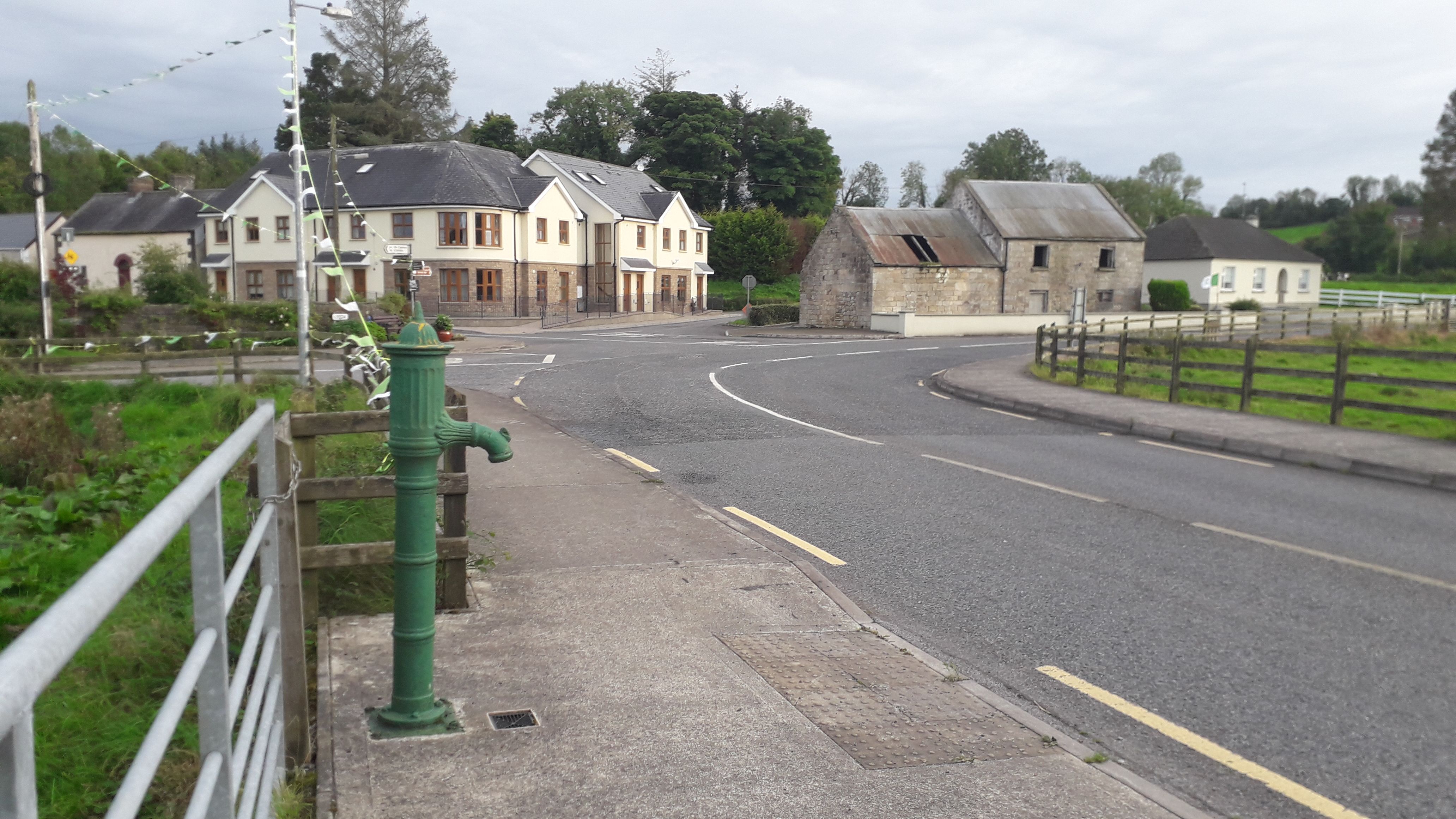 Milltown NorthWood · 2.6 mi