What is recorded here
Mundellihy holds a broken earthen ring where a farm track now clips the south edge and conifers crowd the southwest corner. The bank stands one metre high around a level grassy circle, marking a boundary humans crossed long before cars or plantations. It is not a fairy tale, though locals may have called it one; it is a rath, shaped by hands that no longer walk the pasture.
In level pasture. Circular area (34.6m N-S; 33.6m E-W) enclosed by earthen bank (int. H 0.7m; ext. H 1.05m), with external fosse (D 0.2m; Wth 2.5m) SSW->SW. Break in bank (Wth 2.2m) at E. Clipping outside edge of bank at S is farm trackway. Field boundary runs out from bank at SW; area between this and farm trackway has been planted with coniferous trees. Interior level and under grass.
Compiled by: Denis Power
Date of upload: 26 August 2011
The monument record does not grant public access. Check the route and ask the landowner before entering private land.
- What survives
- Recorded monument
Places near here
 Enclosure in BallinlongigEnclosure · 330 yd
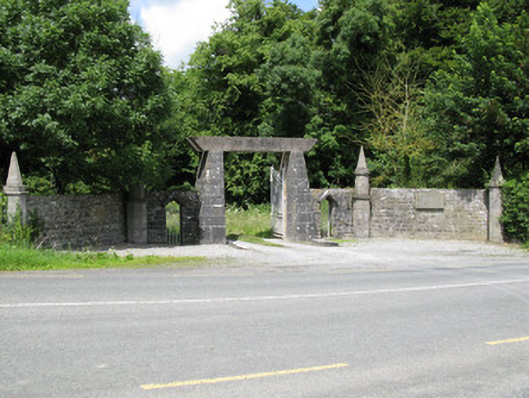 Springfield Castledemesne walls/gates/railings · 1712 yd
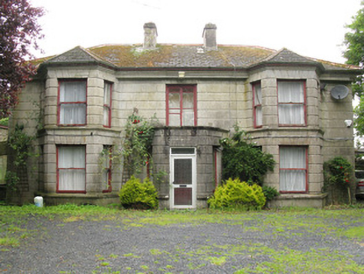 Woodfield Househouse · 1.1 mi
 CastleCastle, unclassified · 1.2 mi
 DromcolliherSettlement cluster · 1.2 mi
 ToberacappeenSpring · 1.2 mi
 Castle (in ruins), Springfield CastleCastle, tower house · 1.2 mi
 National Co-op MuseumMuseum · 1.3 mi
 ToberhoranSpring · 2.0 mi
 Mullaghareirk - Banane LoopWalking route · 5.9 mi
 Ballagh MountainMountain / peak · 6.5 mi
 Battle of LiscarrollMajor battlefield · 8.2 mi