What is recorded here
Mundellihy holds a faded ringfort where cattle still grind its edges into pasture. The earth bank stands two metres high outside but drops to sixty centimetres inside, forming a shallow circle wide enough for a small house or a dozen people. Its northeast section has nearly vanished while overgrowth carpets the level centre, suggesting the field claimed back what human hands shaped. The fort may have been a home, a boundary marker, or a place where neighbours argued about ownership before forgetting why the circle existed.
In level pasture. Circular area (diam. 28m) enclosed by earthen bank (int. H 0.6m; ext. H 2m) with external fosse (D 1.4m; Wth 1.6m). Enclosing element is very indistinct NE->ESE, and remainder heavily eroded by cattle accessing interior. Level interior is partially covered by overgrowth.
Compiled by: Denis Power
Date of upload: 26 August 2011
The monument record does not grant public access. Check the route and ask the landowner before entering private land.
- What survives
- Recorded monument
Places near here
 CastleCastle, unclassified · 1042 yd
 ToberacappeenSpring · 1103 yd
 Enclosure in BallinlongigEnclosure · 1200 yd
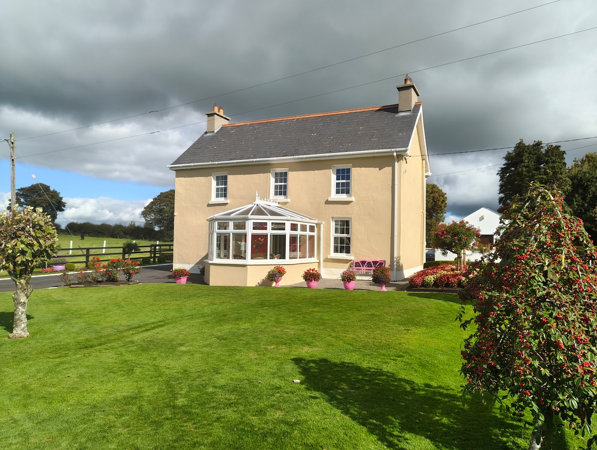 Enclosure in Gardenfield EastEnclosure · 1.1 mi
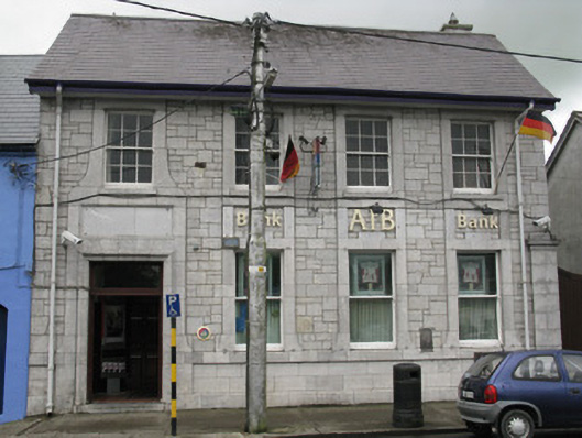 Allied Irish Bankbank/financial institution · 1.2 mi
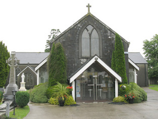 Saint Bartholomew's Catholic Churchchurch/chapel · 1.3 mi
 National Co-op MuseumMuseum · 1.3 mi
 Castle (in ruins), Springfield CastleCastle, tower house · 1.8 mi
 ToberhoranSpring · 1.8 mi
 Mullaghareirk - Banane LoopWalking route · 6.6 mi
 Ballagh MountainMountain / peak · 7.0 mi
 Battle of LiscarrollMajor battlefield · 8.2 mi