What is recorded here
Mundellihy holds a forgotten circular home, now reduced to a faint thirty-eight metre ring buried under pasture. People built that boundary, perhaps to keep out rain or enemies, but time and ploughs have sanded the edges until the fort disappears when wind strikes the grass. It still resists forgetting because the shape remains whole beneath the soil, waiting for someone to walk its invisible circumference and remember the hands that made it.
In slight depression, in generally level pasture. Monument, depicted as embanked circular enclosure on 1923 OS 6-inch map, has been levelled. However, it is still discernible as circular area (diam. 38m) enclosed by low rise (H 0.1m; Wth 0.8m) with external dip (D 0.15m; Wth 2.8m). Entire site under pasture.
Compiled by: Denis Power
Date of upload: 26 August 2011
The monument record does not grant public access. Check the route and ask the landowner before entering private land.
- What survives
- Recorded monument
Places near here
 CastleCastle, unclassified · 1449 yd
 ToberacappeenSpring · 1543 yd
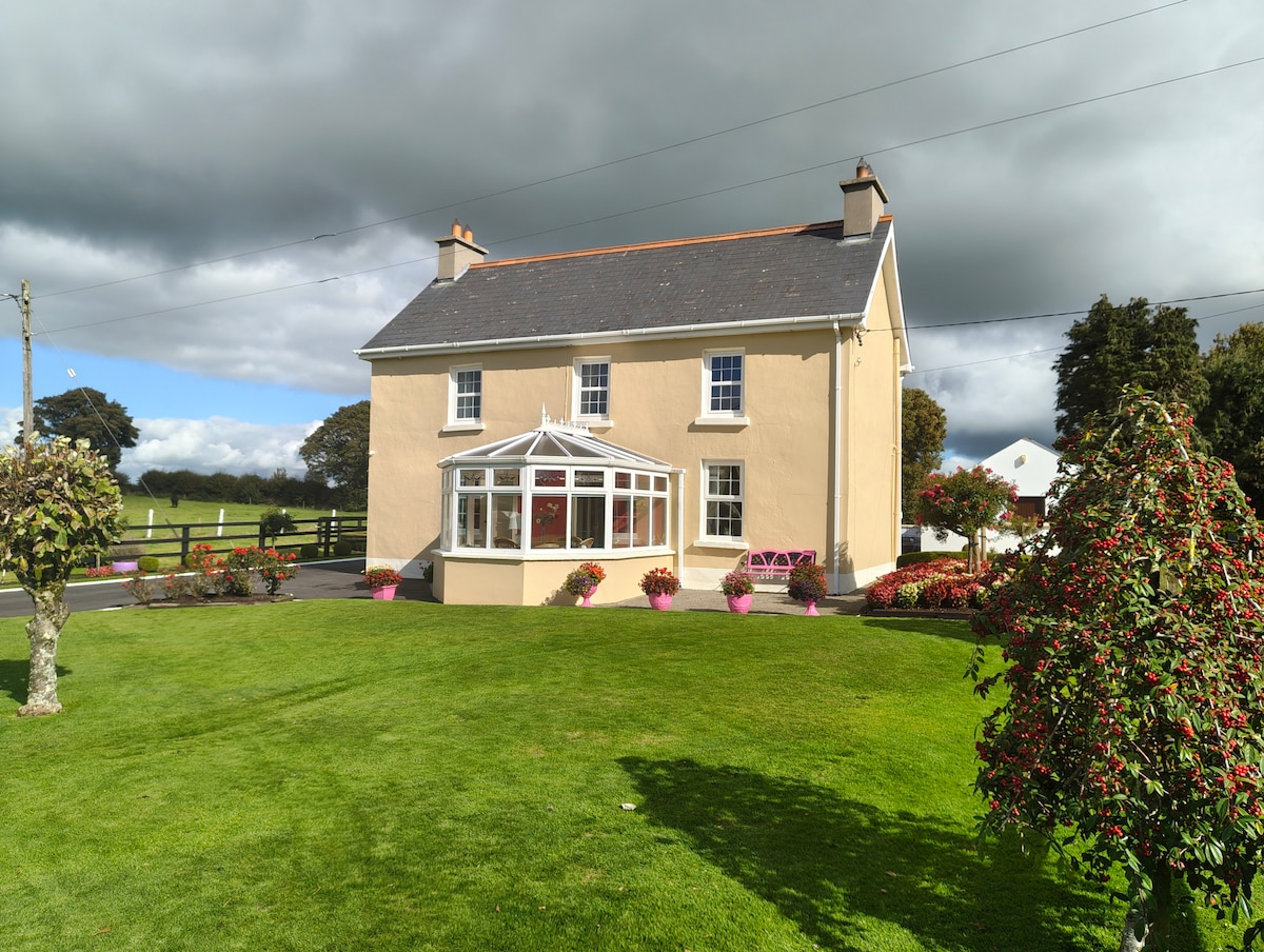 Enclosure in Gardenfield EastEnclosure · 1653 yd
 Fairy fort / earthen ringfort in AhaveheenFairy fort / earthen ringfort · 1666 yd
 ToberhoranSpring · 1.3 mi
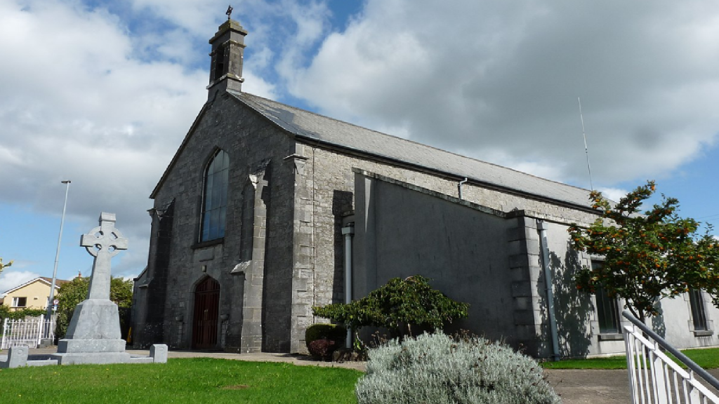 Cloncrew Church (in ruins)Church · 1.7 mi
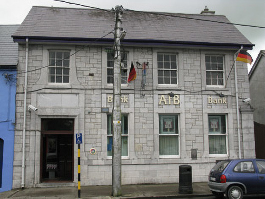 Allied Irish Bankbank/financial institution · 1.9 mi
 National Co-op MuseumMuseum · 2.0 mi
 Castle (in ruins), Springfield CastleCastle, tower house · 2.1 mi
 Mullaghareirk - Banane LoopWalking route · 7.0 mi
 Ballagh MountainMountain / peak · 7.1 mi
 Battle of LiscarrollMajor battlefield · 8.7 mi