What is recorded here
Mundellihy in County Limerick holds a hidden thirty-metre ringfort beneath level pasture, visible only as a faint crop mark rather than a solid ridge. The earth swallowed the boundary, yet the shape persisted in the way grass grew or soil drained. People may have lived inside that invisible circle before forgetting its edges, leaving behind a ghostly disk instead of a wall.
In level pasture. No visible surface trace evident of circular enclosure (diam. c. 30m) evident as crop mark on aerial photograph (LAS).
Compiled by: Denis Power
Date of upload: 26 August 2011
The monument record does not grant public access. Check the route and ask the landowner before entering private land.
- What survives
- Recorded monument
Places near here
 Enclosure in BallinlongigEnclosure · 887 yd
 CastleCastle, unclassified · 1.1 mi
 ToberacappeenSpring · 1.1 mi
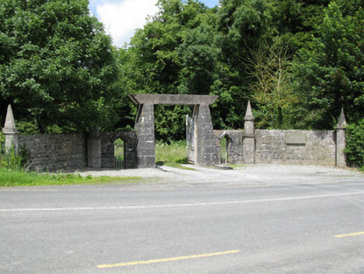 Springfield Castledemesne walls/gates/railings · 1.2 mi
 Castle (in ruins), Springfield CastleCastle, tower house · 1.3 mi
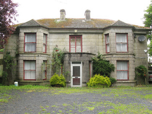 Woodfield Househouse · 1.4 mi
 DromcolliherSettlement cluster · 1.4 mi
 National Co-op MuseumMuseum · 1.5 mi
 ToberhoranSpring · 1.7 mi
 Mullaghareirk - Banane LoopWalking route · 6.1 mi
 Ballagh MountainMountain / peak · 6.5 mi
 Battle of LiscarrollMajor battlefield · 8.5 mi