What is recorded here
Mullolagher holds a thirty-six-metre earthen ring where human hands shaped stone and soil before memory faded. The bank still stands eight decimetres high beside a shallow ditch, marking a boundary between townlands rather than disappearing entirely. cattle may have circled the modified edge while people forgot the entrance, turning a fort into a common field marker. The fairy label appears because small round places often escape human explanation, yet the measured stones and ditch prove deliberate construction.
On a gentle SSE-facing slope in low-lying pasture. Depicted as a circular enclosure with the designation 'Fort' on the 1837 ed. of the OS 6-inch map. A raised circular area (diam. 35.7m) enclosed by a low bank of earth and stone (Wth 3.1m; H 0.8m max.) with a shallow external fosse (Wth 2.8m; D 0.6m). From W-N-NNE the circuit and morphology of the bank and fosse have been modified due to their incorporation into a modern field boundary, which also marks the boundary between the two townlands. The original entrance is not recognisable.
Compiled by: Patrick F. O'Donovan
Date of upload: 26 August 2011
The monument record does not grant public access. Check the route and ask the landowner before entering private land.
- What survives
- Recorded monument
Places near here
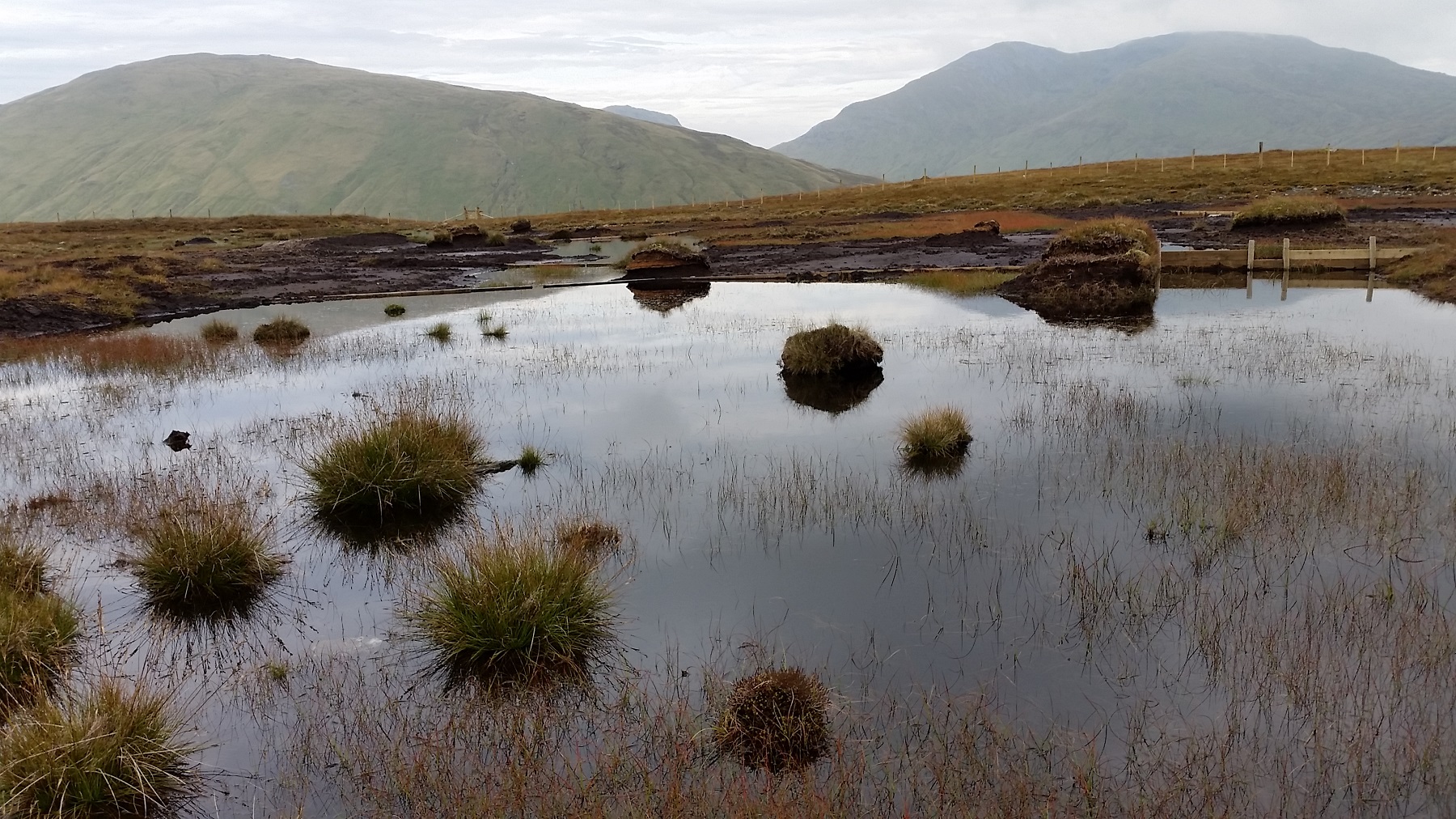 StructureStructure, peatland · 437 yd
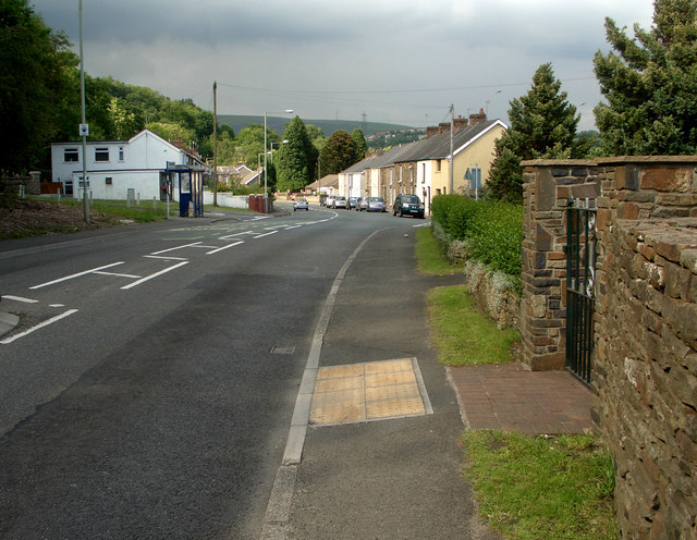 RoadRoad, class 3 togher · 653 yd
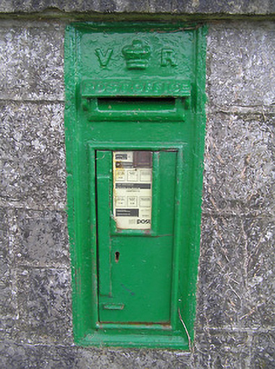 post boxpost box · 811 yd
 Fulacht fia in Aghareagh (longford By.)Fulacht fia · 1.4 mi
 Bawn in AbbeycartronBawn · 2.4 mi
 First World War MemorialMemorial · 2.5 mi
 Saint Mel's CathedralCathedral · 2.7 mi
 Graveyard in Curry (ardagh By., Coolamber Ed)Graveyard · 2.8 mi
 Bawn in LissardowlanBawn · 5.9 mi
 Commons North WalkVisitor information · 6.5 mi
 Wild birdsVisitor information · 6.7 mi
 White Sand WoodWood · 7.0 mi