What is recorded here
Fairy fort in Mullenroe, County Cork, Ireland. In pasture, on ENE-facing slope. Roughly circular area (26m N-S) defined by earthen bank, highest to W (max. int. H 2.4m). Height of inner bank face decreases gradually until to E slight lip remains above external stone-faced scarp (H 2.6m). Entrance (Wth 4m) to E. Fosse area inaccessible due to overgrowth. Old laneway skirts site on NW side. Interior heavily overgrown. The above description is derived from the published 'Archaeological Inventory of County Cork. Volume 3: Mid Cork' (Dublin: Stationery Office, 1997). In certain instances the entries have been revised and updated in the light of recent research. Date of upload/revision: 14 January 2009
In pasture, on ENE-facing slope. Roughly circular area (26m N-S) defined by earthen bank, highest to W (max. int. H 2.4m). Height of inner bank face decreases gradually until to E slight lip remains above external stone-faced scarp (H 2.6m). Entrance (Wth 4m) to E. Fosse area inaccessible due to overgrowth. Old laneway skirts site on NW side. Interior heavily overgrown.
The above description is derived from the published 'Archaeological Inventory of County Cork. Volume 3: Mid Cork' (Dublin: Stationery Office, 1997). In certain instances the entries have been revised and updated in the light of recent research.
Date of upload/revision: 14 January 2009
The monument record does not grant public access. Check the route and ask the landowner before entering private land.
- What survives
- Recorded monument
Places near here
 Man-made underground passage (Site of)Man-made underground passage · 1.2 mi
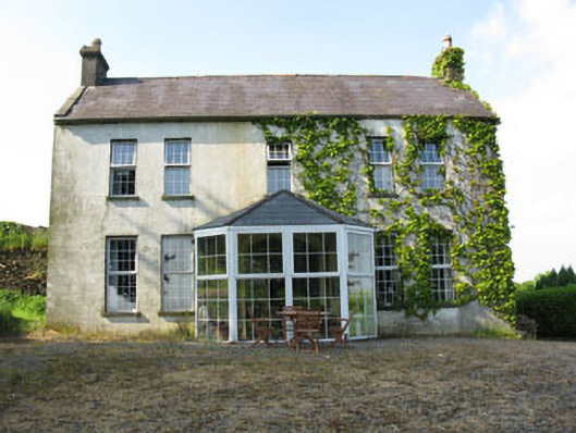 Mount Crosshouse · 1.2 mi
 IndicatedKiln, lime · 1.3 mi
 Neill's WoodWood · 1.3 mi
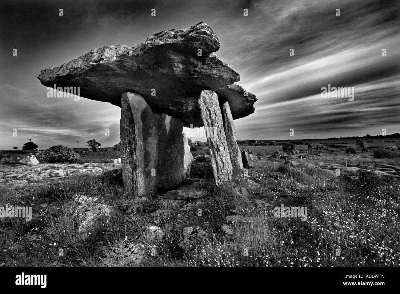 DolmenWedge tomb · 1.4 mi
 Clonavrick CliffCliff · 2.0 mi
 Carrigaphooca CastleCastle · 2.8 mi
 Macroom WalksVisitor information · 2.9 mi
 Curraheen WoodWood · 3.0 mi
 Macroom Castle (in Ruins)Castle, tower house · 3.0 mi
 Battle of Macroombattle · 3.1 mi
 BurrenMountain / peak · 3.8 mi