What is recorded here
Fairy fort / earthen ringfort in Mullanashee is a fairy fort or earthen ringfort in Mullanashee, County Sligo, Ireland. It occupies a ridge rise where the ground falls north and south slopes climb toward the Ox Mountains. A two-metre scarp and dense blackthorn define its twenty-five-metre circular area, while loose stones top the ridge and tumble across the slopes.
In pasture, on top of a rise on a ridge; the ground falls away to N and on the S rises towards the N-facing slopes of the Ox Mountains. A roughly circular area (c. 25m NW-SE) defined by a scarp (max. H 2m at N) and densely overgrown with blackthorn bushes and brambles. The scarp is topped by a low spread of loose stones (Wth c. 4m) SE-W, with much stone tumble down the slope there and also N-E. This stone is possibly the remains of a later boundary wall rather than an original feature of the rath. The interior slopes slightly down to E and is bisected by a WNW-ESE field boundary.
The above description is derived from the published 'Archaeological Inventory of County Sligo' compiled by Ursula Egan, Elizabeth Byrne, Mary Sleeman with Sheila Ronan and Connie Murphy (Dublin Stationery Office, 2005).
Date of upload: 18 January 2008
The monument record does not grant public access. Check the route and ask the landowner before entering private land.
- What survives
- Recorded monument
Places near here
 TobercalleenHoly well · 741 yd
 Enclosure in CrockacullionEnclosure · 894 yd
 DoomoreMountain / peak · 1106 yd
 RinnatalleenHeadland · 1.2 mi
 Tullaghan HillMountain / peak · 1.3 mi
 Derinch PointHeadland · 1.4 mi
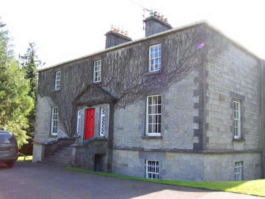 Toberfeckin Houserectory/glebe/vicarage/curate's house · 1.4 mi
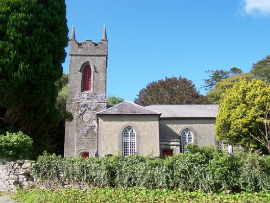 Christ Church (Dromard)church/chapel · 1.5 mi
 Bawn in Tanrego WestBawn · 2.0 mi
 CarrigeenfaddaIslet · 2.3 mi
 Moymlough Castle (in Ruins)Castle, tower house · 2.4 mi
 European ashEuropean ash · 2.6 mi