What is recorded here
Fairy fort / earthen ringfort in Mullaghroe is a fairy fort or earthen ringfort in Mullaghroe, County Sligo, Ireland. The circular earth and stone bank sits on a drumlin above a south-facing slope overlooking Lough Gara. Its interior measures forty-three metres north-south and forty-one metres east-west, with the largest bank section reaching the north upslope arc. The ground inside slopes downward toward the southeast.
On top of a drumlin, above a S-facing slope overlooking Lough Gara. A circular area (int. diam. 43m N-S; 41m E-W) enclosed by an earth and stone bank which is highest and widest along the N upslope arc (Wth 7.1m; int. H 0.9m; ext. H 1.9m). The interior slopes down to SE.
The above description is derived from the published 'Archaeological Inventory of County Sligo' compiled by Ursula Egan, Elizabeth Byrne, Mary Sleeman with Sheila Ronan and Connie Murphy (Dublin Stationery Office, 2005).
Date of upload: 18 January 2008
The monument record does not grant public access. Check the route and ask the landowner before entering private land.
- What survives
- Recorded monument
Places near here
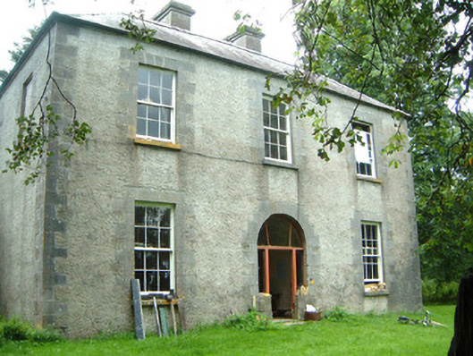 Redhill Househunting/fishing lodge · 161 yd
 IndicatedFairy fort / stone ringfort · 799 yd
 Moygara Castle (in Ruins)Bawn · 1567 yd
 Moygara CastleCastle · 1570 yd
 Enclosure in Gorteen (coolavin By.)Enclosure · 1.6 mi
 Crow IslandIslet · 1.9 mi
 Templerooaun (in Ruins)Church · 2.0 mi
 Inch IslandIslet · 2.5 mi
 Castle PointHeadland · 2.6 mi
 Curlew MountainsMountain / peak · 3.3 mi
 Rose PointHeadland · 3.4 mi
 Treanscrabbagh caveCave · 5.7 mi