What is recorded here
Mullaghroe held a double-ramparted ringfort nearly sixty metres across until local people levelled it around 1981. Maps drawn decades earlier showed its twin ditches and inner berm, while stone piles once crowded the ground where people may have lived, herded animals or simply marked a boundary. The earth has been taken into pasture, yet the fort still turns in memory because it resisted easy forgetting.
In pasture. Levelled; no visible surface trace. Marked as hachured circular enclosure on 1842 OS 6-inch map; clearly depicted as bivallate circular enclosure on 1904 OS 6-inch map. Hartnett (1939, 135, Fig. XXXI) describes 'double-ramparted ringfort' (overall diam. 182ft) with 'concentric berm inside the outer rampart'; entrance to NW; interior surface irregular due to 'piles of stones' dumped there. According to local information, levelled c. 1981.
The above description is derived from the published 'Archaeological Inventory of County Cork. Volume 3: Mid Cork' (Dublin: Stationery Office, 1997). In certain instances the entries have been revised and updated in the light of recent research.
Date of upload/revision: 14 January 2009
The monument record does not grant public access. Check the route and ask the landowner before entering private land.
- What survives
- Recorded monument
Places near here
 Fulacht fia in ClashanureFulacht fia · 731 yd
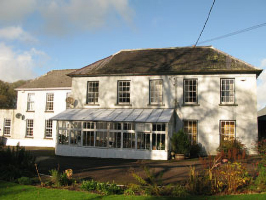 Clashanure Housecountry house · 871 yd
 Valley View Househouse · 912 yd
 Church (Remains of)Ecclesiastical enclosure · 1103 yd
 Castle Inch (in Ruins)Castle, tower house · 1.0 mi
 Bob AdamsMemorial · 1.1 mi
 Iniscarra Dam ViewViewpoint · 1.3 mi
 Kilcrea Castle (in Ruins)Castle, tower house · 2.0 mi
 Kilcrea CastleWood · 2.0 mi
 Graveyard in Carrigane (muskerry East By.)Graveyard · 2.1 mi
 Coachford Greenway (End)Visitor information · 2.2 mi
 Farran WoodWood · 2.4 mi