What is recorded here
Fairy fort in Mullaghreelan: a circular earthen enclosure, about fifty metres across, with a second outer bank on the north, east and south sides. Sand digging cut through much of it, but a low wide bank and shallow foss remained visible in 1955, with dark earth and bone fragments showing in the pit wall. It sits on a slope now used for tillage, perhaps marking an old boundary, dwelling or ritual place whose shape people still recognised long after its purpose faded.
Shown on the 1909 OS 6-inch map as circular enclosure (max diam. c. 50m), with second external bank at N-E-S. Extensively damaged by sand digging, but described in 1955 as consisting of a low, wide, denuded bank and shallow fosse (Danaher 1955, no. 307). Some dark earth and pieces of bone visible in pit face. Situated on slope in tillage area.
Date of upload: 15 September 2016
The monument record does not grant public access. Check the route and ask the landowner before entering private land.
- What survives
- Recorded monument
Places near here
 CastleCastle, ringwork · 740 yd
 Mullaghreelan WoodForest · 800 yd
 Cottage ruinRuins · 818 yd
 Lorcán Ó TuathailMemorial · 1072 yd
 Church (Site of)Church · 1080 yd
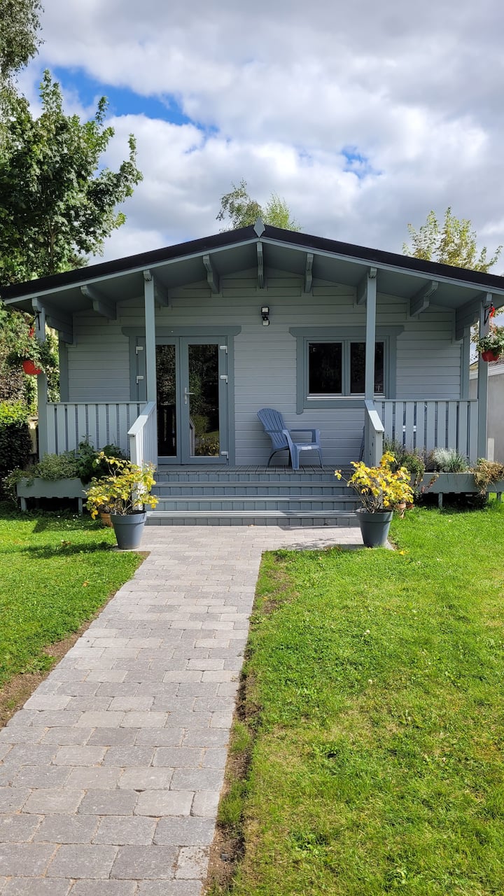 Enclosure in MullaghreelanEnclosure · 1153 yd
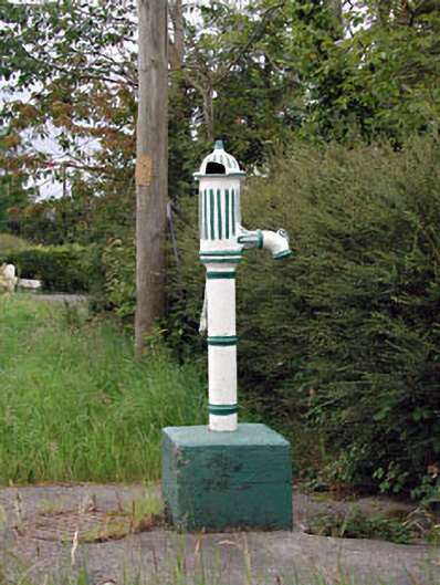 water pumpwater pump · 1194 yd
 Kilkea CastleCastle, tower house · 1.1 mi
 ProclamationMemorial · 2.0 mi
 Castledermot Round TowerHeritage attraction · 2.1 mi
 Franciscan FriaryHeritage attraction · 2.2 mi
 European ashEuropean ash · 3.2 mi