
What is recorded here
The grass-covered foundations of a rectangular structure, (dims. 11m x 7m) aligned E-W on the top of a steep sided, possibly artificial hillock or mound (diam. c. 20m). A ramp-like feature leads from the surrounding field level to the summit at the S.
Date of upload: 15 September 2016
The monument record does not grant public access. Check the route and ask the landowner before entering private land.
- What survives
- Recorded monument
Places near here
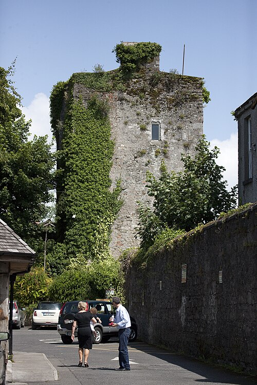 Kyledrumman Castle (in ruins)Castle, unclassified · 950 yd
 Enclosure in Hobartstown East,hobartstown WestEnclosure · 1061 yd
 Enclosure in Hobartstown EastEnclosure · 1145 yd
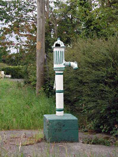 water pumpwater pump · 1751 yd
 Mullaghreelan WoodForest · 1.0 mi
 CastleCastle, ringwork · 1.0 mi
 Cottage ruinRuins · 1.1 mi
 Lorcán Ó TuathailMemorial · 1.2 mi
 ProclamationMemorial · 2.0 mi
 Castledermot Round TowerHeritage attraction · 2.0 mi
 Franciscan FriaryHeritage attraction · 2.1 mi
 European ashEuropean ash · 2.6 mi
Other information
Photo: Credit not shown in the picture search · Rights wording not checked; contact us if this picture should be removed