What is recorded here
Fairy fort in Mullaghmore West stands on a low hill summit, its subcircular earthworks preserving an inner scarp, fosse and outer bank despite quarrying and a trackway cutting the site. The rectangular hollow within may mark disturbance or use, while Prof. Rynne suggested it could be a ceremonial place. People may have gathered there for rites, watches or ordinary life, leaving a shape the land still holds.
On the summit of a low hill. Subcircular rath (N-S 39m, E-W 34m), in fair condition, defined by an inner scarp, intervening fosse and outer bank. A gap at NE may be original. Within the interior, a rectangular hollow (L 6.7m, Wth 4.6m), running E-W, is possibly the result of disturbance (OPW Topgr. Files). Quarrying has encroached upon the monument at NE, and a trackway cuts it at N. Prof. Rynne (pers. comm.) notes it may be 'a ceremonial site'. (Claffey 1983, 160-1)
The above description is derived from the published 'Archaeological Inventory of County Galway Vol. II - North Galway'. Compiled by Olive Alcock, Kathy de hÓra and Paul Gosling (Dublin: Stationery Office, 1999).
Date of upload: 05 August 2010
The monument record does not grant public access. Check the route and ask the landowner before entering private land.
- What survives
- Recorded monument
Places near here
 CastleCastle, unclassified · 776 yd
 Enclosure in Mullaghmore SouthEnclosure · 1103 yd
 Enclosure in BrierfieldEnclosure · 1480 yd
 CarrownacreggCountry house · 1.3 mi
 HawthornHawthorn · 1.5 mi
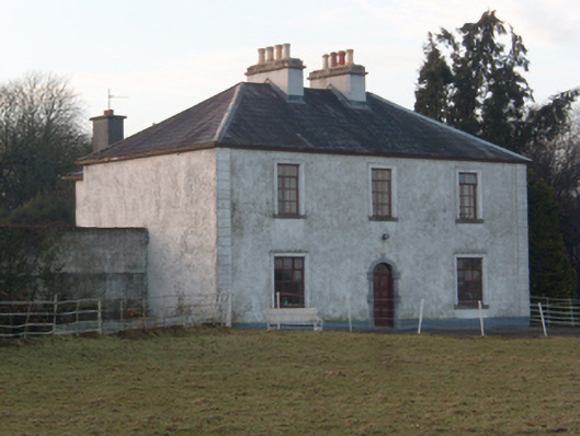 Lakeview Househouse · 1.7 mi
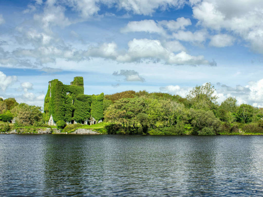 Castle BellewArchaeological place · 2.1 mi
 SycamoreSycamore · 2.1 mi
 Menlough IRAMemorial · 3.2 mi
 Knockmoy AbbeyHeritage attraction · 5.5 mi
 Mount MaryMountain / peak · 12 mi
 Kilconnell AbbeyHeritage attraction · 12 mi