What is recorded here
Mullaghavorneen is a fairy fort or earthen ringfort on the north slope of a ridge in County Longford. It is no longer visible at ground level because the area was cleared and the monument was levelled by 1975. Before that, scrub, briar and thorn bushes hid it from most people, leaving only a slight bank at the northwest as a clue. The land keeps the shape of a forgotten boundary even when the earth has been made flat again.
On the N slope of a ridge in pasture. A report in 1965 (SMR file) noted that this monument was practically impossible to inspect as the area was densely overgrown with scrub, briar and thorn bushes. Traces of a slight bank were visible at NW; no trace of a fosse was evident. By 1975 (ibid.) the area had been cleared and the monument was levelled. Not visible at ground level.
Compiled by: Patrick F. O'Donovan
Date of upload: 26 August 2011
The monument record does not grant public access. Check the route and ask the landowner before entering private land.
- What survives
- Recorded monument
Places near here
 Burnt spread in MullaghavorneenBurnt spread · 440 yd
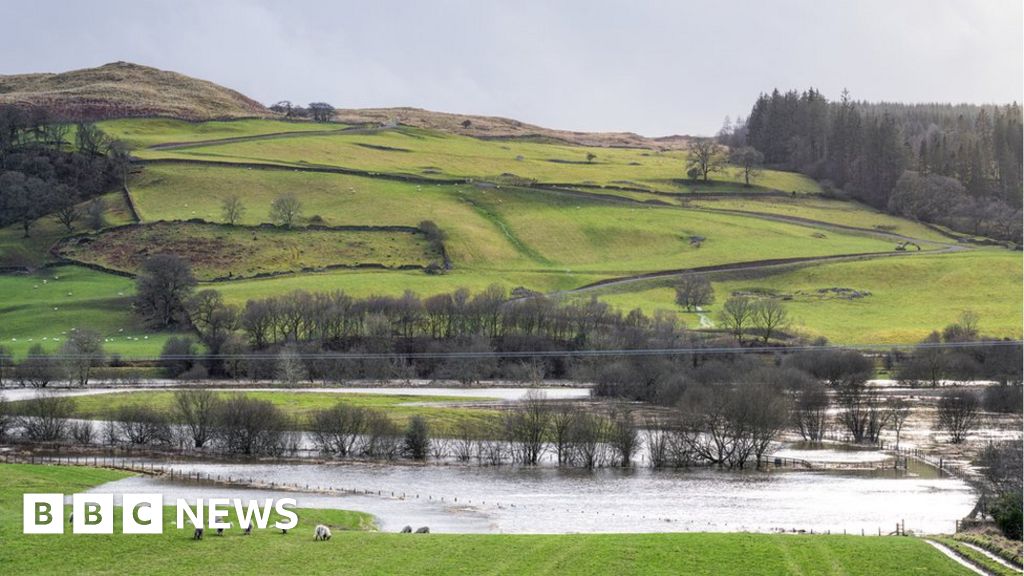 Fulacht fia in MullaghavorneenFulacht fia · 800 yd
 Church in AghafadChurch · 946 yd
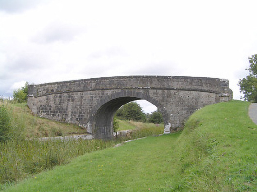 Farranyoogan Bridgebridge · 989 yd
 First World War MemorialMemorial · 1.2 mi
 Saint Mel's CathedralCathedral · 1.3 mi
 Bawn in AbbeycartronBawn · 1.5 mi
 Graveyard in Curry (ardagh By., Coolamber Ed)Graveyard · 1.5 mi
 CastleCastle, Anglo-Norman masonry castle · 3.7 mi
 Commons North WalkVisitor information · 8.0 mi
 Wild birdsVisitor information · 8.1 mi
 White Sand WoodWood · 8.3 mi