What is recorded here
Mullaghavally holds a thirty-metre earthen ring on a southeast slope, its thick bank and shallow ditch marking a boundary older than memory. People called it a fairy fort, perhaps because the shape resisted ordinary explanation or because the dead and departed still inhabited the land in local thought. The entrance faces the rising sun, inviting entry rather than warning against it.
Situated towards the top of a SE-facing slope. This is a circular overgrown area (diam. c. 30m) that slopes down to the SE. It is defined by an overgrown earthen bank (at SW: Wth 7m; int. H 1.8m; ext. H 2.5m), and an outer fosse (at NW: Wth of base 2.2m; ext. D 0.2m) W-N. The entrance (Wth of base 2m) is at SE.
The above description is derived from the published 'Archaeological Inventory of County Meath' (Dublin: Stationery Office, 1987). In certain instances the entries have been revised and updated in the light of recent research.
Compiled by: Michael Moore
Date of revision: 17 August 2016
The monument record does not grant public access. Check the route and ask the landowner before entering private land.
- What survives
- Recorded monument
Places near here
 Fools FortFairy fort / earthen ringfort · 628 yd
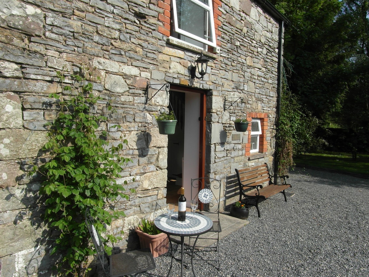 Enclosure in EdengoraEnclosure · 1.1 mi
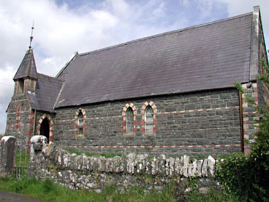 Saint Columba's Church (Moybolgue)church/chapel · 1.4 mi
 Castkecome RuinsCastle, unclassified · 2.3 mi
 UghtyneillMountain / peak · 2.4 mi
 CastleCastle, tower house · 2.6 mi
 TeevurcherMountain / peak · 2.7 mi
 presbytery/parochial/curate's housepresbytery/parochial/curate's house · 2.7 mi
 Miltown GlenWood · 2.7 mi
 North Mullaghmore WoodWood · 3.4 mi
 Fair of MuffMemorial · 3.7 mi
 Sally IslandIslet · 4.7 mi