What is recorded here
Mullagh Otra holds a forty-three-metre earthen ring on a steep drumlin crest, forcing anyone who entered to climb through a narrow southeast gap while the land dropped away beside them. The bank still stands two metres high in places, though modern paths have chewed holes through its western edge. People may have built the fort to watch the valley or hide from neighbours, yet the local name suggests they also believed the site belonged to fairy kind. Human hands shaped the earth, but the region still treats the fort as a threshold rather than a ruin.
Located at the crest of the steep E-facing slope of a N-S drumlin ridge. This is a circular overgrown area (int. diam. 43.4m ENE-WSW) sloping down steeply to the E, which is defined by an earthen bank (at SW: Wth of base 7m; Wth of top 1.7m; int. H 1.3m; ext. H 2m) S-W-N which is reduced to a scarp (at E: Wth 1.7m; H 1.3m) elsewhere. There are traces of an external fosse NNW-NE that has morphed into a drain S-NW. There are modern gaps in the bank at WSW, W and NW, but the original entrance is at SE
The above description is derived from the published 'Archaeological Inventory of County Monaghan' (Dublin: Stationery Office, 1986). In certain instances the entries have been revised and updated in the light of recent research.
Date of revision: 25 July 2017
The monument record does not grant public access. Check the route and ask the landowner before entering private land.
- What survives
- Recorded monument
Places near here
 Coolberrin HillMountain / peak · 897 yd
 IndicatedHilltop enclosure · 1502 yd
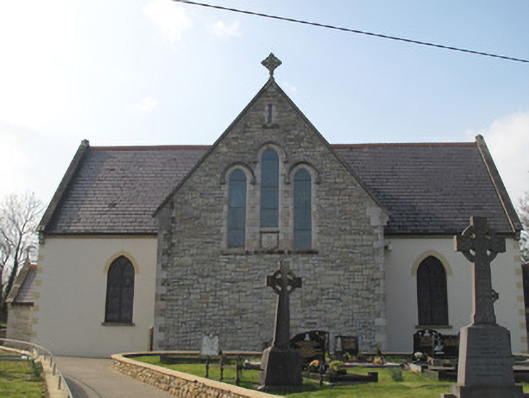 Catholic Church of the Sacred Heartchurch/chapel · 1.6 mi
 Saint Patrick's ChairNamed rock · 1.6 mi
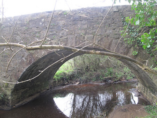 bridgebridge · 1.7 mi
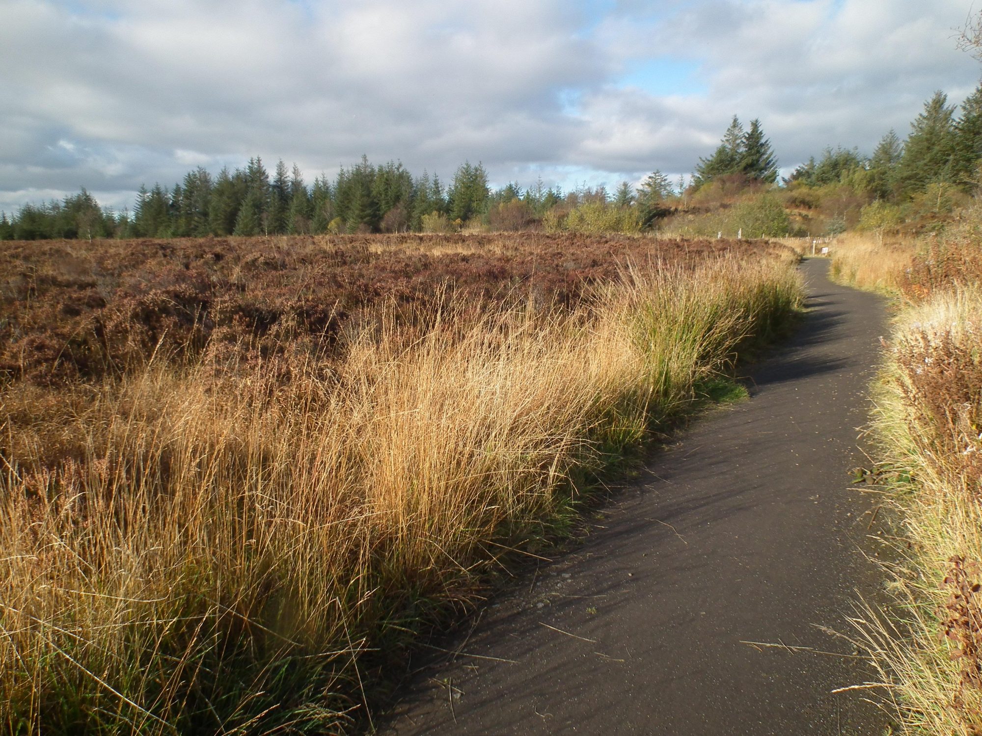 Altadaven WoodForest · 1.9 mi
 Derrygorry WoodForest · 2.3 mi
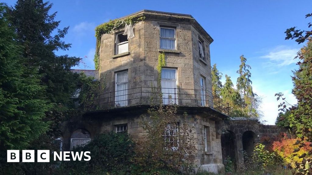 ENCLOSURE in DernasellENCLOSURE · 2.4 mi
 Sliabh Beagh WayWalking route · 2.5 mi
 St. Muadain's WellSpring · 2.6 mi
 RAVELLA CASTLE:HOUSE AND BAWN in RavellaRAVELLA CASTLE:HOUSE AND BAWN · 3.5 mi
 Carleton's CottageHeritage attraction · 3.6 mi