What is recorded here
Fairy fort in Mullagh, County Limerick: a roughly circular earth-and-stone ring, about 22.6 by 25 metres, set on a west-facing slope below a low ridge. Its bank stands highest from the northwest to the north-northeast, thins toward the west, and leaves a two-metre gap at the east-southeast. Inside, overgrowth hides much of the ground, but a lower bank still divides the eastern third from the rest. The shape suggests a small defended or occupied place, perhaps with a separate chamber, store area or boundary marker; the fairy name adds the old Irish habit of giving unusual sites unusual lives.
In pasture, on W-facing slope below brow of low ridge. Roughly circular area (22.6m N-S; 25m E-W) enclosed by earth-and-stone bank, with external fosse (D 0.4m; Wth 1.25m) NW->NNE. Bank (int. H 0.7m; ext. H 0.95m), best preserved NW->NNE, lowers S->NW becoming scarp-like at WNW (int. H 0.05m; ext. H 0.45m). Gap in bank (Wth 2m) at ESE. Interior is masked by overgrowth. Eastern third is divided from remainder of interior by earth-and-stone bank (H 0.3m; axis NNE-SSW).
Compiled by: Denis Power
Date of upload: 26 August 2011
The monument record does not grant public access. Check the route and ask the landowner before entering private land.
- What survives
- Recorded monument
Places near here
 CastleCastle, unclassified · 289 yd
 Movena Housecountry house · 462 yd
 Site of CastleCastle, unclassified · 809 yd
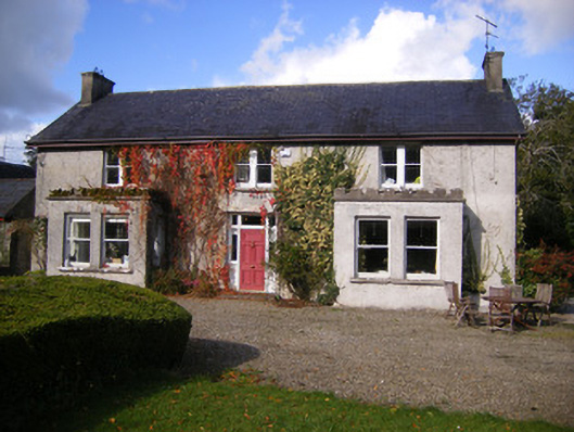 Kilcosgrave Househouse · 829 yd
 Burial ground in OldabbeyBurial ground · 1052 yd
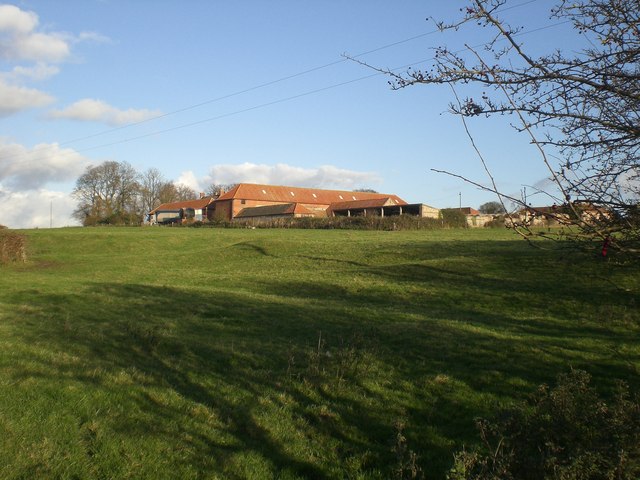 Settlement desertedSettlement deserted, medieval · 1257 yd
 St. Luke's WellSpring · 3.7 mi
 Foynes Flying Boat & Maritime MuseumMuseum · 3.9 mi
 Foynes Island ViewpointViewpoint · 4.1 mi
 St. Kieran's WellSpring · 4.1 mi
 Gammarel PointHeadland · 4.2 mi
 Holly IslandIslet · 4.3 mi