What is recorded here
Fairy fort / earthen ringfort in Moymlough is a fairy fort or earthen ringfort in Moymlough, County Sligo, Ireland. The slightly raised circular area sits close to the top of a ridge in undulating pasture. An earthen bank and external fosse enclose the space, while a causeway crosses the fosse at the southwest entrance. A limekiln appeared beside the rath on the 1838 OS 6-inch map.
In undulating pasture, close to the top of a ridge. A slightly raised circular area (int. diam. 26.5m) enclosed by an earthen bank (Wth 2m; int. H 1.4m; ext. H 0.6m) and an external fosse (Wth 4m; D 1m). The entrance (Wth 2.5m) is at SW with a causeway across the fosse. The interior is clear of overgrowth. A few trees have been planted around the perimeter. A limekiln was indicated on the 1838 OS 6-inch map adjacent to the rath at SSW.
The above description is derived from the published 'Archaeological Inventory of County Sligo' compiled by Ursula Egan, Elizabeth Byrne, Mary Sleeman with Sheila Ronan and Connie Murphy (Dublin Stationery Office, 2005).
Date of upload: 18 January 2008
The monument record does not grant public access. Check the route and ask the landowner before entering private land.
- What survives
- Recorded monument
Places near here
 Moymlough Castle (in Ruins)Castle, tower house · 378 yd
 St. Fechins BedRitual site, holy/saint's stone · 1039 yd
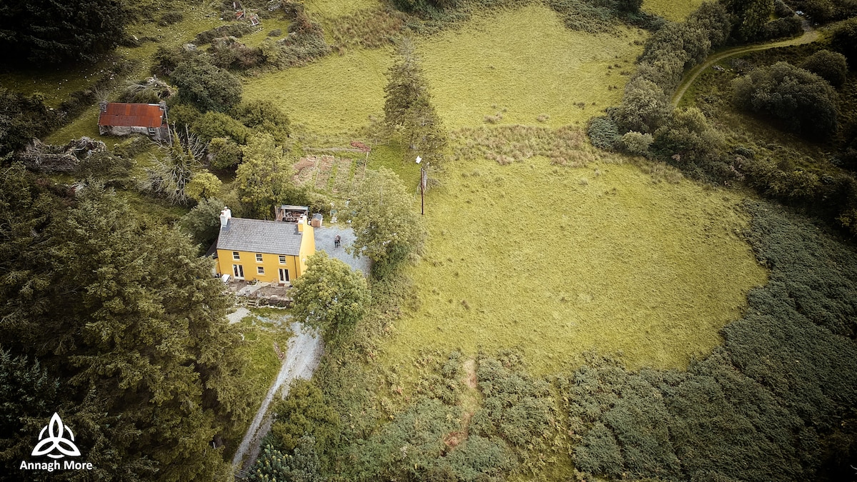 Killassar (Site of)Church · 1180 yd
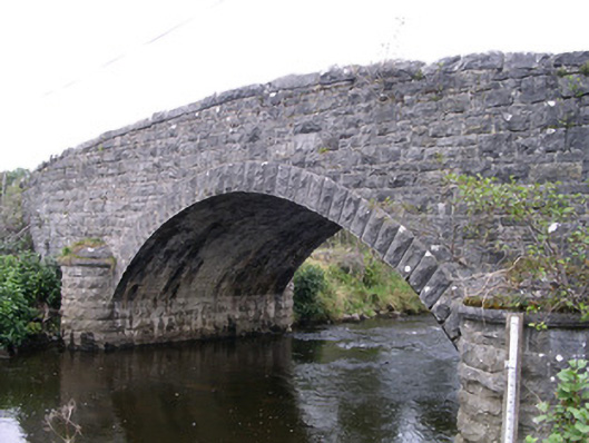 Billa Bridgebridge · 1480 yd
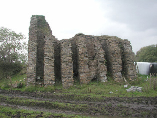 Coolaney Brick Workskiln · 1663 yd
 Tullaghan HillMountain / peak · 1.3 mi
 CroaghaunMountain / peak · 1.8 mi
 Castle (Site of)Castle, unclassified · 2.5 mi
 Teeling MonumentMemorial · 3.3 mi
 Battle of Collooneybattle · 3.3 mi
 RinnatalleenHeadland · 3.3 mi
 European ashEuropean ash · 3.7 mi