What is recorded here
Fairy fort / earthen ringfort in Moylough is a fairy fort or earthen ringfort in Moylough, County Sligo, Ireland. It occupies marshy ground on a gentle NE-facing slope and forms a D-shaped area with a straight SE side. Two banks and an intervening fosse enclose the space, while a small wedge-shaped annexe lies immediately outside the northern fosse. The interior remains available for rough grazing.
In marshy ground, on a gentle NE-facing slope. A D-shaped area (dims. 30.5m NE-SW; 19m NW-SE), with a straight SE side, is enclosed by two banks and an intervening fosse. The inner bank of earth and stone (Wth 2.7m; int. H 0.65m) is evident all round except for a short section at NE where the interior is defined by a scarp. The fosse (Wth 5m; D 0.7m) is evident all around. An outer earthen bank (Wth 2m; ext. H 0.3m) is evident NW-NNW and at SE. The interior is used for rough grazing. A small wedge-shaped annexe (L 10m N-S; Wth at N end 11m; Wth at S end 7m), raised 0.7m above the ground, lies immediately outside the fosse at N.
The above description is derived from the published 'Archaeological Inventory of County Sligo' compiled by Ursula Egan, Elizabeth Byrne, Mary Sleeman with Sheila Ronan and Connie Murphy (Dublin Stationery Office, 2005).
Date of upload: 18 January 2008
The monument record does not grant public access. Check the route and ask the landowner before entering private land.
- What survives
- Recorded monument
Places near here
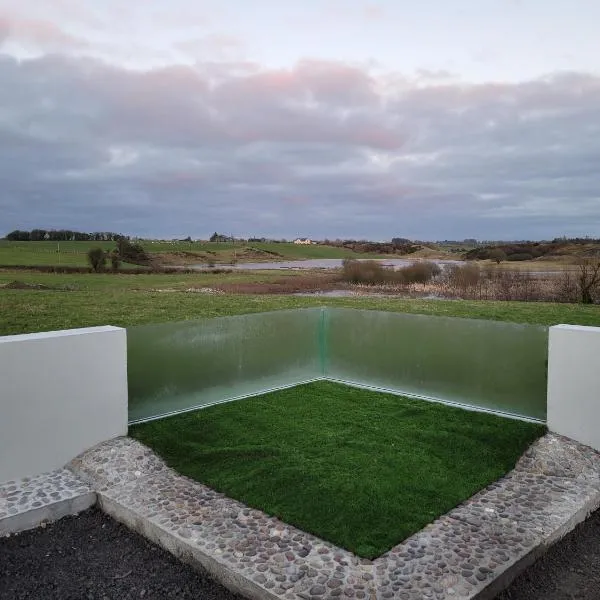 Enclosure in MoyloughEnclosure · 887 yd
 Fulacht fia in BallincurryFulacht fia · 1420 yd
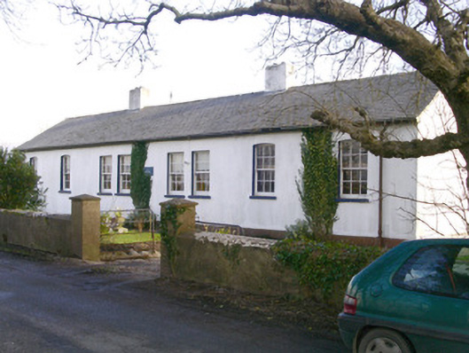 The Old School Houseschool · 1520 yd
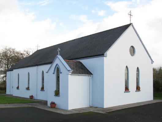 Saint Joseph's Catholic Churchchurch/chapel · 1.7 mi
 Old Cave Burial GroundArchaeological place · 2.3 mi
 CastleCastle, unclassified · 2.4 mi
 Ballyara Castle (in Ruins)Castle, unclassified · 3.2 mi
 Muckelty HillMountain / peak · 4.3 mi
 Tymon's HillMountain / peak · 4.7 mi
 Tawnyart WoodWood · 7.0 mi
 Lough Talt TrailVisitor information · 9.8 mi
 Caves of KeshCave · 11 mi