What is recorded here
Fairy fort / earthen ringfort in Moylough is a fairy fort or earthen ringfort in Moylough, County Sligo, Ireland. The raised circular area measures about twenty metres east to west and stands one point one metres high on a gentle south-facing slope in pasture. A field boundary cuts the northern scarp, a quarry takes the north-west quadrant, and a man-made underground passage occupies the northern half of the interior.
In pasture, on a gentle S-facing slope and immediately S of a lane. A raised circular area (diam. c. 20m E-W) defined by a scarp (H 1.1m). The scarp is truncated by a field boundary at N. A quarry encroaches into the NW quadrant. There is a Man-made underground passage (SL038-109001-) in the N half of the interior.
The above description is derived from the published 'Archaeological Inventory of County Sligo' compiled by Ursula Egan, Elizabeth Byrne, Mary Sleeman with Sheila Ronan and Connie Murphy (Dublin Stationery Office, 2005).
Date of upload: 18 January 2008
The monument record does not grant public access. Check the route and ask the landowner before entering private land.
- What survives
- Recorded monument
Places near here
 Enclosure in MoyloughEnclosure · 334 yd
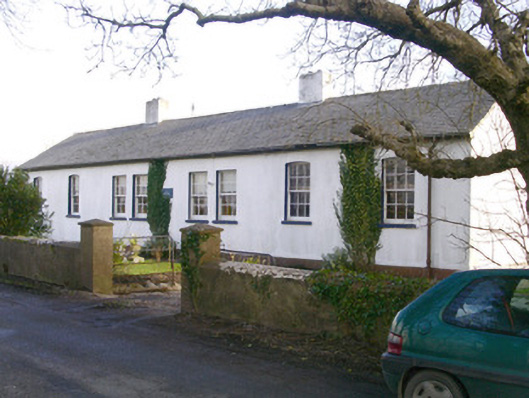 The Old School Houseschool · 746 yd
 Fulacht fia in BallincurryFulacht fia · 1.2 mi
 Musicans of DoocastleMemorial · 1.9 mi
 CastleCastle, unclassified · 2.0 mi
 Old Cave Burial GroundArchaeological place · 2.7 mi
 Ballyara Castle (in Ruins)Castle, unclassified · 3.0 mi
 Muckelty HillMountain / peak · 3.8 mi
 Tymon's HillMountain / peak · 4.4 mi
 Tawnyart WoodWood · 6.8 mi
 Lough Talt TrailVisitor information · 9.6 mi
 Caves of KeshCave · 10 mi