What is recorded here
Fairy fort / earthen ringfort in Moylough is a fairy fort or earthen ringfort in Moylough, County Sligo, Ireland. The slightly raised oval area sits in pasture on a slight SSE-facing slope immediately north of a road. An eroded gapped earthen bank and a scarp define the perimeter, while an external fosse remains well-defined from the northwest to the northeast. Dense blackthorn, hawthorn and bramble growth now covers the interior.
In pasture, on a slight SSE-facing slope and immediately N of a road. A slightly raised oval area (c. 30m N-S; c. 23m E-W) defined by an eroded gapped earthen bank (Wth 2.7m; int. H 0.35m; ext. H 0.9m) NW-SE and by a scarp (H 1.05m) with a slight internal lip SE-S. The bank is truncated by a field boundary SW-NW. The external fosse (Wth 2.4m; D 0.45m) is well-defined NW-NE, gradually peters out NE-E, is evident only as a shallow depression at SE and is barely perceptible at S. The interior is densely covered with overgrowth. A scarp (H 0.5m) curving W-NE just S of centre marks a change in ground level and to S of this the interior is slightly lower with a soft and damp surface. The rath is densely overgrown with blackthorn and hawthorn bushes and brambles.
The above description is derived from the published 'Archaeological Inventory of County Sligo' compiled by Ursula Egan, Elizabeth Byrne, Mary Sleeman with Sheila Ronan and Connie Murphy (Dublin Stationery Office, 2005).
Date of upload: 18 January 2008
The monument record does not grant public access. Check the route and ask the landowner before entering private land.
- What survives
- Recorded monument
Places near here
 Fulacht fia in BallincurryFulacht fia · 1134 yd
 Enclosure in MoyloughEnclosure · 1147 yd
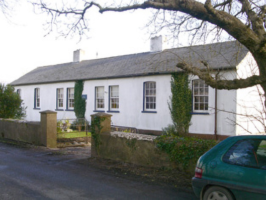 The Old School Houseschool · 1693 yd
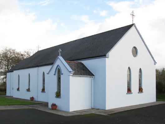 Saint Joseph's Catholic Churchchurch/chapel · 1.9 mi
 Old Cave Burial GroundArchaeological place · 2.3 mi
 CastleCastle, unclassified · 2.5 mi
 Ballyara Castle (in Ruins)Castle, unclassified · 3.1 mi
 Muckelty HillMountain / peak · 4.3 mi
 Tymon's HillMountain / peak · 4.9 mi
 Lough Talt TrailVisitor information · 9.6 mi
 HawthornHawthorn · 10 mi
 Procession Of The SoulsMemorial · 11 mi