What is recorded here
Fairy fort / earthen ringfort in Moygara is a fairy fort or earthen ringfort in Moygara, County Sligo, Ireland. The raised circular area sits in pasture on a drumlin ridge near the Curlew Mountains. An eroded earthen bank surrounds the site, while an external fosse and eastern entrance with a causeway define its boundary. Another rath lies about fifty metres to the east southeast.
In pasture, on the end of a drumlin ridge near the foot of the Curlew Mountains. A raised circular area (23.2m N-S; 21.3m E-W) enclosed by an eroded earthen bank (Wth 4.3m; int. H 0.05m; ext. H 0.7m) with an external fosse (Wth 4.5m; D 0.5m). The entrance (Wth 3.3m) is at E with a causeway across the fosse. The interior slopes down to NE, the surface is overgrown and uneven with several exposed boulders noted. Another rath (SL044-050----) is c. 50m to ESE.
The above description is derived from the published 'Archaeological Inventory of County Sligo' compiled by Ursula Egan, Elizabeth Byrne, Mary Sleeman with Sheila Ronan and Connie Murphy (Dublin Stationery Office, 2005).
Date of upload: 18 January 2008
The monument record does not grant public access. Check the route and ask the landowner before entering private land.
- What survives
- Recorded monument
Places near here
 Moygara Castle (in Ruins)Bawn · 1354 yd
 Moygara CastleCastle · 1356 yd
 Enclosure in Gorteen (coolavin By.)Enclosure · 1415 yd
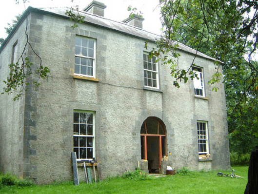 Redhill Househunting/fishing lodge · 1.1 mi
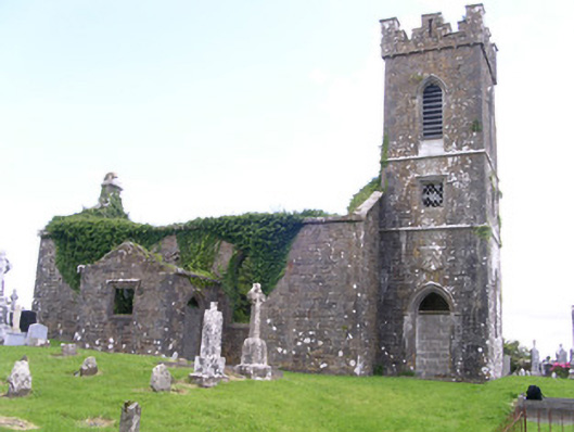 Gorteen Church (Kilfree)church/chapel · 1.2 mi
 IndicatedFairy fort / earthen ringfort · 1.2 mi
 Crow IslandIslet · 2.3 mi
 Inch IslandIslet · 3.0 mi
 Castle PointHeadland · 3.0 mi
 Rose PointHeadland · 3.6 mi
 Curlew MountainsMountain / peak · 4.5 mi
 Bockagh HillMountain / peak · 5.5 mi