What is recorded here
Moygalla holds a fifty-two-metre earthen ring on a northwest slope, now hidden beneath forest but still visible in older satellite imagery. The scarp defines a raised platform where humans may have lived, feared, or played before the trees closed the sky. Fairy fort is the local name, yet the shape is human-made: a circle of earth built to keep something out or hold something in.
On a NW-facing slope in an area now forested. A circular area (diam. c. 52m) comprising a raised platform defined by a scarp. Visible on Digital Globe (22011-2013) in pasture.
Compiled by: Mary Tunney
Date of upload: 28 March 2023
The monument record does not grant public access. Check the route and ask the landowner before entering private land.
- What survives
- Recorded monument
Places near here
 Enclosure in MoygallaEnclosure · 279 yd
 Enclosure in CloonanassEnclosure · 564 yd
 islandWood · 1038 yd
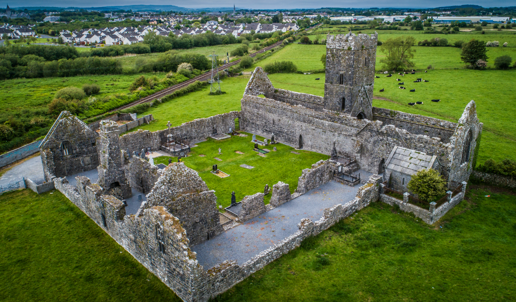 CastleCastle, unclassified · 1075 yd
 Castle (in ruins)Castle, tower house · 1198 yd
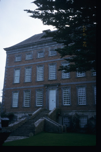 Mount Ievers Courtcountry house · 1.1 mi
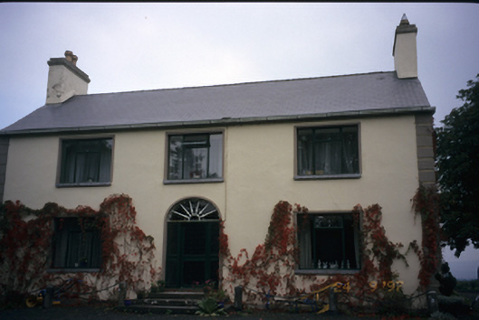 Walton Lodgehouse · 1.4 mi
 Mass RockMemorial · 3.0 mi
 CraggaunowenNationally known place · 3.6 mi
 The RingfortHeritage attraction · 3.7 mi
 Cratloe WoodsForest · 4.2 mi
 Broadford Mass RockMemorial · 4.7 mi