What is recorded here
Mountrivers holds a ringfort where clay and stone still draw a circle across the field. The locals call it a fairy fort, not in mockery but warning: the ground there belongs to older tenants who do not knock before entering. People may have lived inside that same curve centuries ago, marking the boundary between their small world and the vast dark beyond.
The Archaeological Survey of Ireland (ASI) is in the process of providing information on all monuments on The Historic Environment Viewer (HEV). Currently the information for this record has not been uploaded. To access available information for research purposes please make an appointment in advance with the Archive Unit (open Fridays 10.00 am – 5.00 pm), Department of Housing, Local Government and Heritage, The Custom House, Dublin 1 D01W6XO or email NMarchive@housing.gov.ie.
The monument record does not grant public access. Check the route and ask the landowner before entering private land.
- What survives
- Recorded monument
Places near here
 DoonbegFairy fort / earthen ringfort · 1395 yd
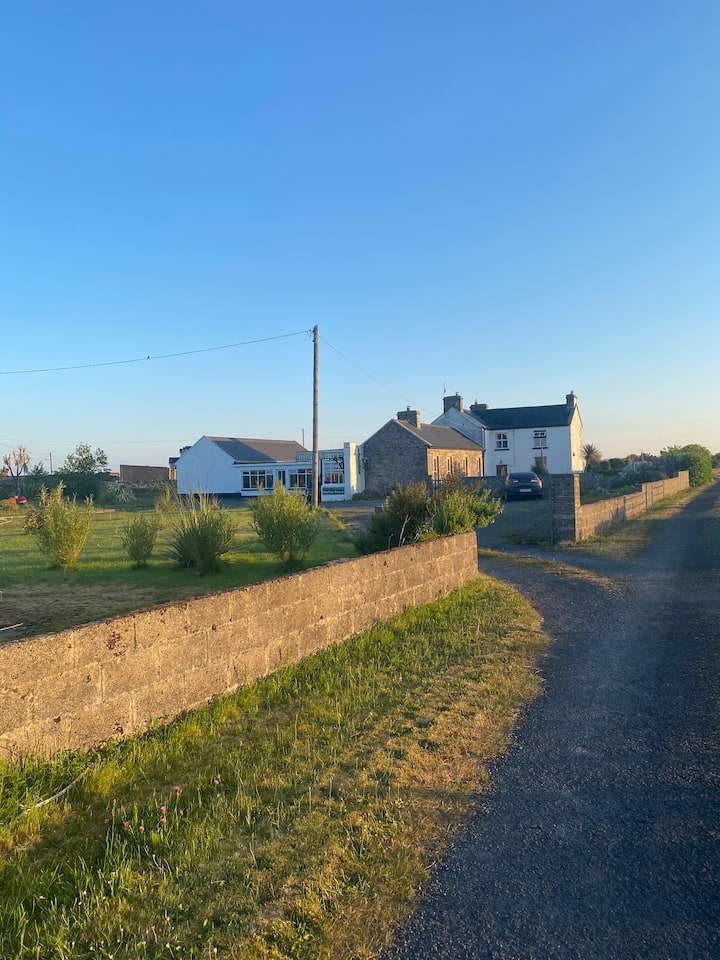 CaherfeenickFairy fort / ringfort · 1463 yd
 bridgebridge · 1.1 mi
 Doonbeg Castle (in Ruins)Castle, tower house · 1.1 mi
 R.C. ChapelChurch · 1.2 mi
 Doughmore BeachBeach / strand · 1.4 mi
 Doonbeg BayBay · 1.4 mi
 Doonmore CastleRuins · 1.6 mi
 White StrandBeach / strand · 2.2 mi
 Pulleen RockNamed rock · 4.0 mi
 Mutton IslandIsland · 5.2 mi
 St. Senan's WellSpring · 6.6 mi