What is recorded here
Mountain views stretch in every direction from this hidden ridge. Whether the fort is gone or still breathing beneath the grass, the land has stopped pretending it is ordinary. What was built has been remembered, changed or forgotten. That is not loss. It is transformation.
On a rise in grassland in former demesne land. Marked on 1st ed. of OS 6-inch map as a circular enclosure; on 3rd ed. (1932) it is represented as a roughly circular tree-lined depression (D c. 45m). No visible surface trace survives. Possibly a ringfort reused as a tree-ring: the 3rd ed. shows over a dozen of the latter within the demesne.
The above description is derived from the published 'Archaeological Inventory of County Galway Vol. II - North Galway'. Compiled by Olive Alcock, Kathy de hÓra and Paul Gosling (Dublin: Stationery Office, 1999).
Date of upload: 05 August 2010
The monument record does not grant public access. Check the route and ask the landowner before entering private land.
- What survives
- Recorded monument
Places near here
 Enclosure in SlievedarraghEnclosure · 720 yd
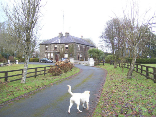 Mayfield Househouse · 878 yd
 Man-made underground passageMan-made underground passage · 918 yd
 monumentmonument · 1392 yd
 CastleCastle, unclassified · 1.4 mi
 Castle (in ruins)Castle, tower house · 1.8 mi
 European ashEuropean ash · 2.1 mi
 Mass RockNamed rock · 3.8 mi
 KnockmaaWood · 6.2 mi
 Kilcoona Round TowerHeritage attraction · 10 mi
 Ballinduff BayBay · 12 mi
 water pumpwater pump · 1652 yd