What is recorded here
Mounthillary is a small village in west Cork. It is not a hidden place or a lost city. It is an ordinary townland on the west coast of Ireland.
McCarthy (1977, 375) noted that Dr. Richard Caulfield visited a 'rath on Mount Hillary' which contained a Man-made underground passage (CO031-12002-). Exact location not known.
The above description is derived from the published 'Archaeological Inventory of County Cork. Volume 4: North Cork' (Dublin: Stationery Office, 2000). In certain instances the entries have been revised and updated in the light of recent research.
Date of upload/revision: 14 January 2009
A fairy fort or earthen ringfort in Mounthillary, likely dating to the early medieval period, is associated with local folklore of fairy activity and ancient habitation. The site reportedly contained a man-made underground passage, as recorded by Dr. Richard Caulfield in the 19th century.
The monument record does not grant public access. Check the route and ask the landowner before entering private land.
- What survives
- Recorded monument
Places near here
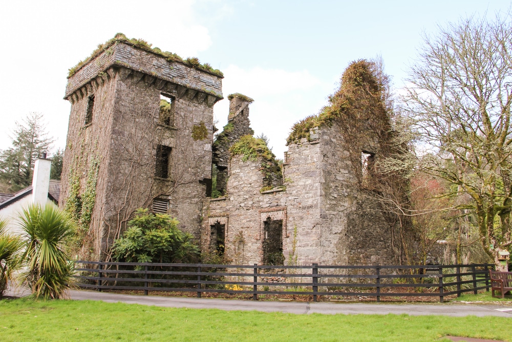 Moneys Castle (Site of)Cairn, unclassified · 69 yd
 Fulacht fia in BallyboneillFulacht fia · 1116 yd
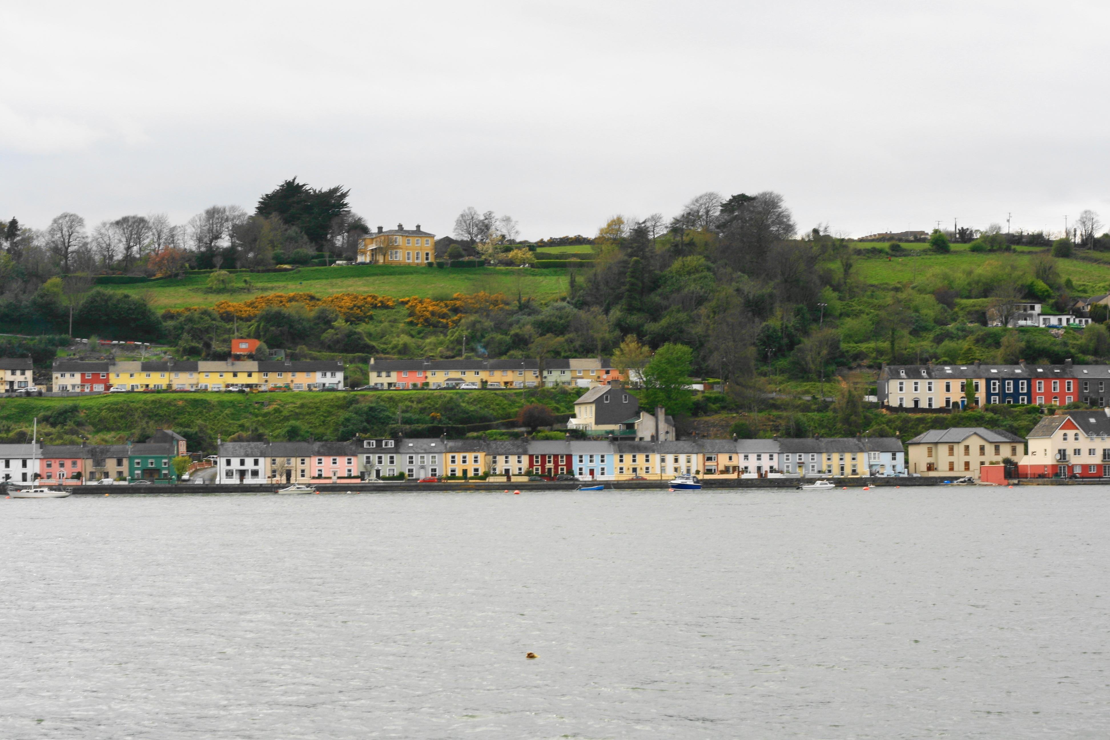 Church in Ballynoe (duhallow By., Kilshannig Par.)Church · 1144 yd
 Mount HillaryMountain / peak · 1559 yd
 IndicatedKiln, lime · 1682 yd
 Mount Hillary - Mount Hillary LoopWalking route · 1.6 mi
 Mount Hillary - Knightfield LoopWalking route · 1.7 mi
 Gurteenkreen Castle (Site of)Castle, unclassified · 1.9 mi
 Bweeng LittleMountain / peak · 3.0 mi
 Clonmeen Court (Site of)House, fortified house · 3.1 mi
 St Fursey's WellSpring · 3.2 mi
 Dromaneen CastleHeritage attraction · 4.4 mi