What is recorded here
Fairy fort in Mounteagle: a circular earthen ringfort in County Limerick pasture, with a scarped edge and waterlogged fosse. Cattle have worn a gap across the south-west wall, as if the fort still gives way to living traffic. Bushes choke the rim, but the flat grassy middle remains visible, a quiet chamber beneath the ordinary field.
In pasture, on slight SE-facing slope. Circular area (21.9m N-S; 23.7m E-W) defined by scarped edge (H 1.35m; Wth 1.2m) with external waterlogged fosse (D 0.65m; Wth 2.95m). Enclosing element is overgrown by bushes. Cattle have worn a gap (Wth 1.1m) across scarp at SSW. Interior level and under grass except along margins where partially covered by overgrowth.
C
ompiled by: Denis Power
Date of upload: 26 August 2011
See attached ASI aerial photograph ASIAP – 306/1, 2 on 13/09/2002
The monument record does not grant public access. Check the route and ask the landowner before entering private land.
- What survives
- Recorded monument
Places near here
 Eagle Mount MoteCastle, motte · 434 yd
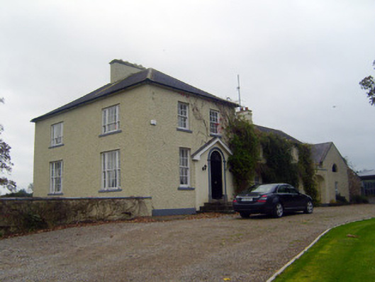 Glebe Houserectory/glebe/vicarage/curate's house · 736 yd
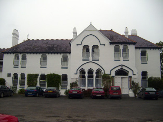 Cuan Mhuirecountry house · 762 yd
 Bruree Castle Upper (ruins)Castle · 968 yd
 OutlinedGraveyard · 982 yd
 IndicatedHoly well · 1167 yd
 King John's CastleCastle · 4.1 mi
 Lady's WellSpring · 4.3 mi
 ToberSpring · 4.3 mi
 Holy Cross CemeteryGraveyard · 4.5 mi
 KnockfeerinaMountain / peak · 7.1 mi
 Flat cemetery in Knockainy WestFlat cemetery · 9.8 mi