What is recorded here
Fairy fort in Mounteagle, County Laois: a large irregular earthen enclosure, nearly seventy metres across, clipped by a field wall. It vanished from sight before modern cameras, yet local memory kept calling it a rath, as if the ground still remembered the shape of a hidden door. People may have lived there, feared it, or simply avoided it; the soil does not argue. What is certain is that the fort was large enough to hold a whole small world, and quiet enough to keep it.
Hachured on the 1841 edition of the OS 6-inch map as a large irregular shaped enclosure (max. diam. c. 70m NW-SE), clipped by a field wall from NW-E. Reference to a rath in an article about Laois Folklore in Bealoideas (Roe 22, 26, 27). No visible surface remains.
The above description is derived from the published 'Archaeological Inventory of County Laois' (Dublin Stationery Office, 1995) compiled by P. David Sweetman, Olive Alcock and Bernie Moran. In certain instances the entries have been revised and updated in the light of recent research.
Date of upload: 17 December 2007
A fairy fort or earthen ringfort in Mounteagle, likely dating to the early medieval period, is depicted as a large, irregular enclosure on the 1841 Ordnance Survey map. Local folklore, noted in an article on Laois traditions, associates such sites with supernatural or otherworldly beings.
The monument record does not grant public access. Check the route and ask the landowner before entering private land.
- What survives
- Recorded monument
Places near here
 Enclosure in MounteagleEnclosure · 116 yd
 Enclosure in Ballyroan (cullenagh By.)Enclosure · 1302 yd
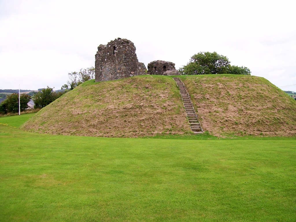 CastleCastle, motte · 1.2 mi
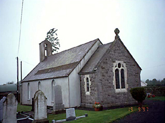 Ballyroan Churchchurch/chapel · 1.3 mi
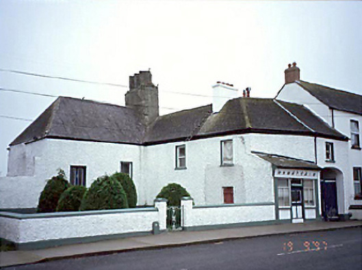 Ó Nuallainhouse · 1.3 mi
 Abbeyleix Heritage CentreMuseum · 1.6 mi
 Knocknamoe HouseMemorial · 1.9 mi
 Sweet ChestnutSweet Chestnut · 2.2 mi
 European BeechEuropean Beech · 3.0 mi
 Rock of CashelMountain / peak · 3.4 mi
 Bawn in Cullenagh (cullenagh By.)Bawn · 4.0 mi
 Heywood GardensHeritage attraction · 4.0 mi