
What is recorded here
In tillage. A square enclosure (dims. c. 30m NNE-SSW and ENE-WSW) visible as a cropmark on Google Earth (imagery date 28 June 2018), identified and reported by Simon Dowling. A field boundary runs roughly N-S through the E portion of the enclosure. The SE corner is faintly visible as a cropmark in the adjacent to the E. There is a moated site (LA024-019----) c. 680m to the NW.
See attached Google Earth image taken 28 June 2018
Compiled by: Jean Farrelly
Date of upload: 9 April 2019
The monument record does not grant public access. Check the route and ask the landowner before entering private land.
- What survives
- Recorded monument
Places near here
 Enclosure in MounteagleEnclosure · 1204 yd
 Saint Patrick's Catholic Churchchurch/chapel · 1629 yd
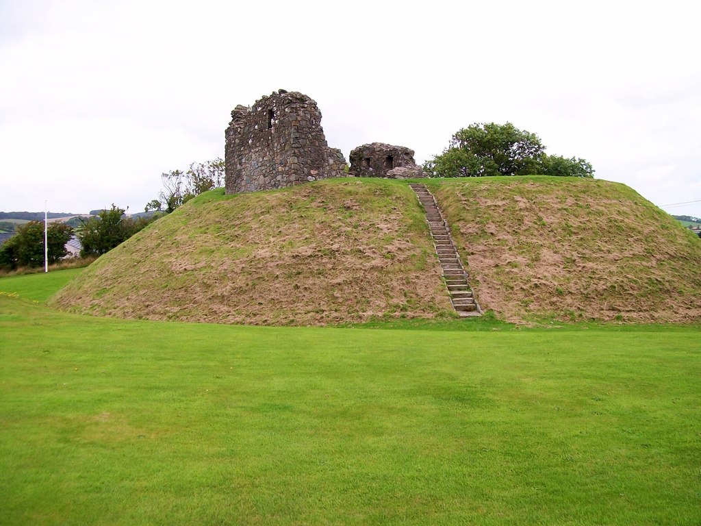 CastleCastle, motte · 1689 yd
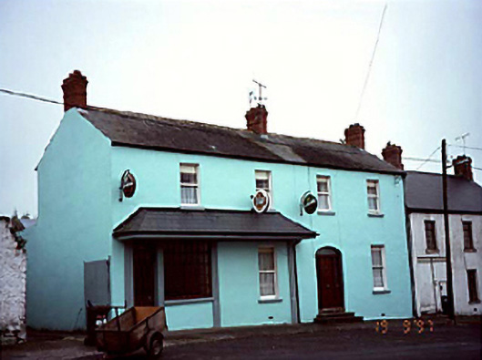 Historic buildingOfficially recorded historic building · 1744 yd
 Church (Site of)Church · 1.2 mi
 Abbeyleix Heritage CentreMuseum · 1.8 mi
 Knocknamoe HouseMemorial · 2.0 mi
 European BeechEuropean Beech · 2.6 mi
 Sweet ChestnutSweet Chestnut · 2.7 mi
 Rock of CashelMountain / peak · 3.3 mi
 Bawn in Cullenagh (cullenagh By.)Bawn · 3.5 mi
 Heywood GardensHeritage attraction · 3.6 mi
Other information
Photo: Credit not shown in the picture search · Rights wording not checked; contact us if this picture should be removed