What is recorded here
Mountblakeney holds a faded ringfort where a bank and ditch once drew a small circle in the pasture. It has lost much of its shape, yet the earth still marks a place set apart for life, guard or memory.
In reclaimed pasture 150m W of the townland boundary with Thomastown. Earthwork (LI047-042----) lies 250m to E. Depicted on the 1840 ed. OSi 6-inch map as a circular-shaped enclosure. It is shown on the 1897 ed. OSi 25-inch map as an oval-shaped area (dims. 26m N-S; 21m E-W) enclosed by a bank from N-S-W reduced to a scarp elsewhere with external fosse from W-NW. Outline of scrub-covered monument visible on Google Earth orthoimages where it is intersected at E by field boundary running NW-SE.
See attached Google Earth orthoimages.
Compiled by: Martin Fitzpatrick
Date of upload: 17 August 2021
A fairy fort or earthen ringfort in Mountblakeney is a circular-shaped enclosure likely dating to the early medieval period, used as a defensive or agricultural settlement. It is associated with local folklore surrounding fairies and other supernatural beings, common in Irish tradition.
The monument record does not grant public access. Check the route and ask the landowner before entering private land.
- What survives
- Recorded monument
Places near here
 IndicatedCastle, unclassified · 779 yd
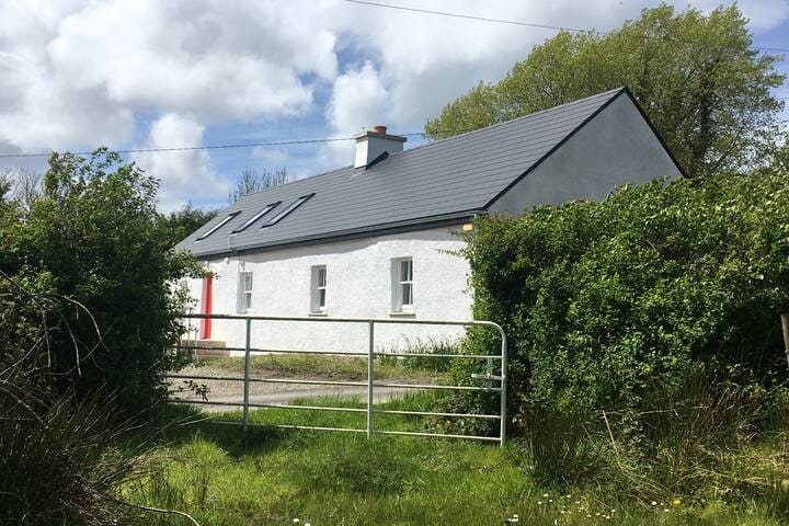 Habitation site in MountblakeneyHabitation site · 830 yd
 BarrowBarrow, bowl-barrow · 906 yd
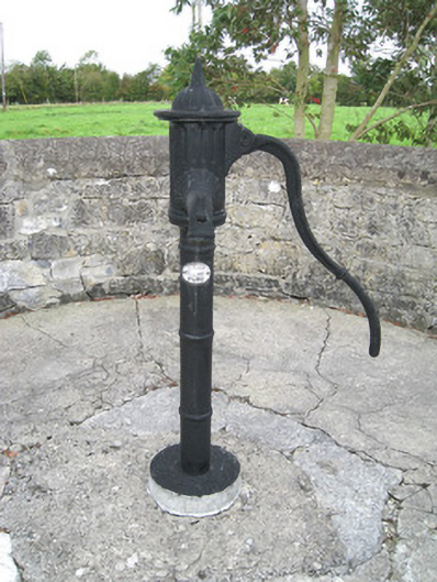 water pumpwater pump · 1316 yd
 Kilbreedy Church (in ruins)Church · 1661 yd
 Lady's WellSpring · 1.5 mi
 ToberSpring · 1.6 mi
 Site of CastleCastle, unclassified · 2.3 mi
 King John's CastleCastle · 2.6 mi
 Holy Cross CemeteryGraveyard · 2.9 mi
 Caher HillMountain / peak · 4.4 mi
 BallinaboolaVisitor information · 4.7 mi