What is recorded here
On low rise in gently undulating grassland, with good views.
This possible rath is not shown on the 1838 OS 6-inch map, but is depicted on the 1919 edition as a hachured circular enclosure (diam. 30-35m) crossed at NW by a field fence on a NE-SW axis. It has been levelled. The NE−SW field fence is extant. An irregular area of rough ground (c. 30-40m across) is evident to S of the fence; no trace of the enclosure can be discerned to N of the fence.
Compiled by: Jane O’Shaughnessy
Date of upload: 8 December 2021
The monument record does not grant public access. Check the route and ask the landowner before entering private land.
- What survives
- Recorded monument
Places near here
 IndicatedFairy fort / earthen ringfort · 429 yd
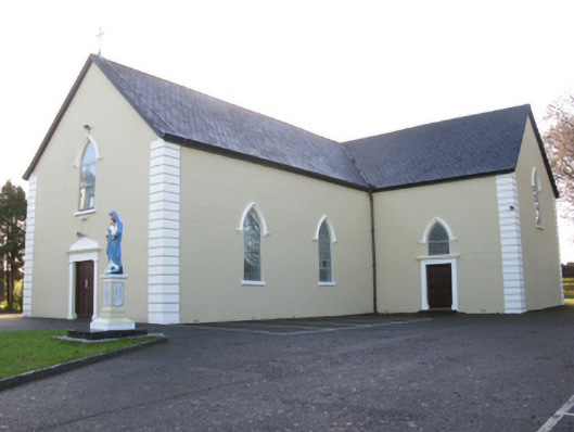 Saint Joseph's Catholic Churchchurch/chapel · 999 yd
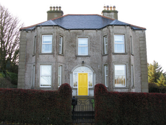 Tighe Achadh Mórhouse · 1120 yd
 Enclosure in Scregg (costello By., Aghamore Par.)Enclosure · 1300 yd
 CastleCastle, unclassified · 1.1 mi
 Rath Castle in ruinsCastle, tower house · 1.4 mi
 East Mayo Brigade MonumentMemorial · 3.2 mi
 Knock MuseumMuseum · 4.7 mi
 Knock ShrineHeritage attraction · 4.7 mi
 I'll Send You The FareMemorial · 7.8 mi
 Thorn CaveCave · 8.4 mi
 Oak WoodForest · 11 mi