What is recorded here
Fairy fort / earthen ringfort in Mortlestown (Cooleagh parish) is a fairy fort or earthen ringfort in Mortlestown (Cooleagh parish), County Tipperary, Ireland. Its raised circular area measures 40 metres north to south and 44 metres east to west on a low hillock. An earth-and-stone bank and external ditch enclose it, with a three-metre causewayed entrance at southeast. A seven-metre western causeway crosses toward the smaller adjoining ringfort.
In grassland situated atop a low hillock in undulating countryside with good views in all directions. Ringfort, separated by a fosse (base Wth 3m; top Wth 6m; D 1.5m) from a smaller ringfort to the W (TS054-069002-). Raised circular area (int. diam. 40m N-S; 44m E-W) enclosed by an earth and stone bank (top Wth 2.2m; base Wth 4m; int. H 0.4-0.7m; ext. H 1.5-3.5m) and external fosse (base Wth 3m; top Wth 7m; ext. D1.7m) with causewayed entrance (Wth 3m) at SE and causeway (Wth 7m) at W which gives access into the smaller adjoining ringfort to W. Cattle gap (Wth 5m) in bank at NE where the bank has been reduced to a scarp by cattle poaching along the N side of the bank, cattle feeding trough in the centre of the interior. Stone-lined entrance visible only along E side of entrance, W side of entrance has been destroyed by livestock erosion. Enclosing bank is at its highest externally and most impressive along the N sector where the fosse is also at its widest and deepest. Outer fosse is intersected by a field boundary at NE where it destroys all evidence of the fosse from NE through E to S. The external face of the bank has suffered from erosion on the E sector of the enclosing bank where the fosse no longer survives. Fosse visible from SW through W through N to NE only, elsewhere destroyed or not visible.
Compiled by: Jean Farrelly
Date of upload: 26 August 2011
This remains an important historical record, but the official description says the monument is no longer visible or has been destroyed. The monument record does not grant public access. Check the route and ask the landowner before entering private land.
- What survives
- No visible remains or recorded as destroyed
Places near here
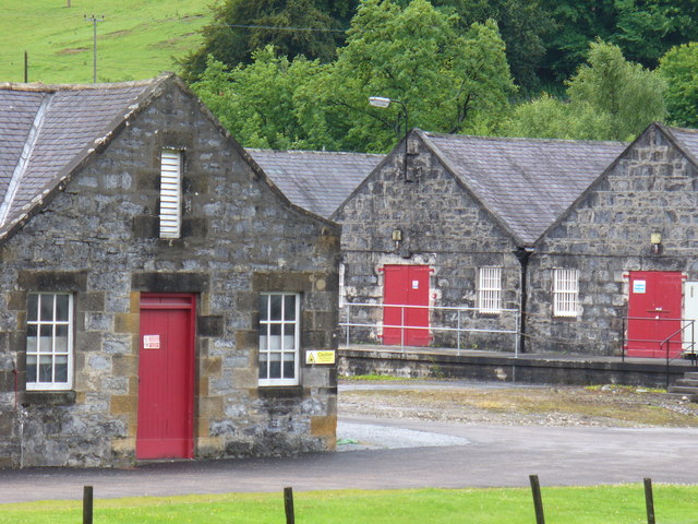 Enclosure in Mortlestown (cooleagh Par.)Enclosure · 475 yd
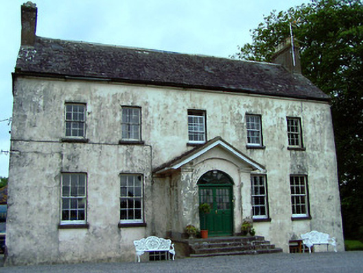 The Rectoryrectory/glebe/vicarage/curate's house · 703 yd
 IndicatedFairy fort / earthen ringfort · 1171 yd
 Mortlestown Castle RuinCastle · 1192 yd
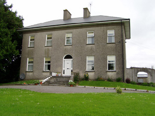 Roan Housecountry house · 1444 yd
 Eagle HillMountain / peak · 1.4 mi
 Saint Johnstown CastleCastle · 1.5 mi
 Slieveardagh Heritage CentreVisitor information · 1.7 mi
 Waterloo HillMountain / peak · 4.0 mi
 Noan WoodWood · 4.0 mi
 Taylor's WoodWood · 4.7 mi
 Gobban Saer's GraveArchaeological place · 4.7 mi