What is recorded here
Half a kilometre east of Kilfenora, two earthen rings still hold their shape in rough pasture, the outer one wearing a later stone wall like a coat. The gap between them is narrow enough that a person could fall in and disappear, which is probably why local people called it a fairy fort rather than admitting they did not understand it. The entrance faces east, where light enters first and shadow leaves last.
In rough pasture, on gentle E-facing slope below top of hillock, in area of outcropping limestone. Circular area (28m N-S; 28.8m E-W) enclosed by two concentric earth-and-stone banks with an intervening fosse (Wth 0.9m). Inner bank (int. H 0.4m; ext. H 0.9m), best preserved NW->ENE, has been levelled SW->NW. Outer bank (ext. H 0.3m), best preserved NE->ESE, is overlain by dry-stone field wall NW->NE. Entrance (Wth 2.6m) through both banks at ESE. Interior, under rough pasture, slopes down gently to E. An earth-and-stone bank (H 0.35m) extends across interior from inner bank at S for c. 10m (on N-S axis) towards centre before fading out. Remains of another earth-and-stone bank (H 0.45m), located 15m ENE of outer bank, runs for c. 12m on NW-SE axis.
Compiled by: Denis Power
Date of upload: 26 August 2011
The monument record does not grant public access. Check the route and ask the landowner before entering private land.
- What survives
- Recorded monument
Places near here
 Enclosure in Ballyengland LowerEnclosure · 1499 yd
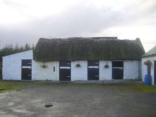 stablesstables · 1547 yd
 Mill (in ruins)Mill, unclassified · 1.1 mi
 Dotted outlineChildren's burial ground · 1.3 mi
 CastleCastle, tower house · 1.9 mi
 Bawn in Castletown (kenry By.)Bawn · 2.3 mi
 European YewEuropean Yew · 2.3 mi
 Stonehall Visitor FarmHeritage attraction · 2.3 mi
 Curraghchase Forest ParkForest · 2.3 mi
 Courtbrown PointHeadland · 3.6 mi
 Greenish IslandIslet · 3.6 mi
 Holly IslandIslet · 3.6 mi