What is recorded here
Morenane held a thirty-metre earthen ring on a north-facing slope, visible on maps until machinery erased it around 1975. The loss came during routine boundary removal, suggesting human convenience can delete ancient structure in a single afternoon. A slight rise remains in the pasture, waiting for someone to notice that forgetting is not the same as understanding.
In pasture, on N-facing slope. Monument, depicted as embanked circular enclosure (diam. c. 30m) on 1924 OS 6-inch map, has been levelled. According to local information levelled c. 1975 when surrounding field boundaries were removed. Slight rise in field may be remnant of enclosure.
Compiled by: Denis Power
Date of upload: 26 August 2011
The monument record does not grant public access. Check the route and ask the landowner before entering private land.
- What survives
- Recorded monument
Places near here
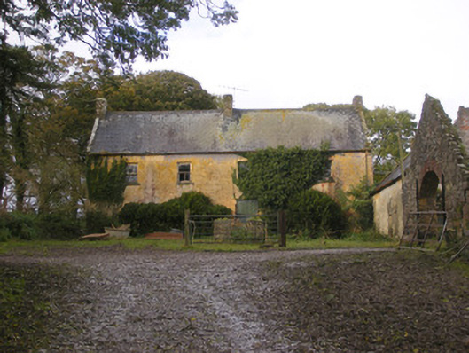 Dollas Housefarm house · 1019 yd
 IndicatedCountry house · 1042 yd
 Toberanearla (1924).Holy well · 1131 yd
 Hachured (1924).Fairy fort / earthen ringfort · 1253 yd
 Castle (in ruins)Castle, unclassified · 1.1 mi
 CastleCastle, unclassified · 1.3 mi
 Kinnoor WellSpring · 1.9 mi
 KnockfeerinaMountain / peak · 2.1 mi
 Famine stoneMemorial · 2.6 mi
 Dysert AenghusaHeritage attraction · 2.7 mi
 European ashEuropean ash · 3.0 mi
 Biodiversity in the Maigue CatchmentVisitor information · 3.1 mi